
1962 Map of Galilee
USGS Topo · Published 1965About this map
The West Fork San Jacinto River carves a deep path through this portion of Walker County, flanked by an intricate network of drainage branches and named creeks. The landscape is characterized by its rural social structure in the early 1960s, centered around small communities like Galilee and Gibbs. The distribution of local landmarks suggests a heritage rooted in family and faith, with numerous country churches and cemeteries such as Hills Chapel, Central Ch, and Martha Chapel Cem serving the surrounding homesteads.
Find a feature on this map
31 named features on this map. Tap any name to fly to it.
Don’t see what you’re looking for? This feature index may not catch every label — zoom into the map to look around manually.
Map Details
Editions of this 1962 Galilee Map
This is the sole edition of this map. No revisions or reprints were ever made.
Other maps of this area

1954 · Beaumont
USGS Topo · 1:250,000

1957 · Beaumont
USGS Topo · 1:250,000

1959 · Moore Grove
USGS Topo · 1:24,000

1959 · San Jacinto
USGS Topo · 1:24,000

1962 · Pine Prairie
USGS Topo · 1:24,000

1962 · Richards
USGS Topo · 1:24,000

1963 · Steep Branch
USGS Topo · 1:24,000

1963 · Crabbs Prairie
USGS Topo · 1:24,000
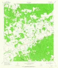
1963 · Loma
USGS Topo · 1:24,000
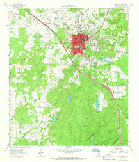
1963 · Huntsville
USGS Topo · 1:24,000