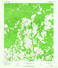
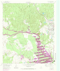
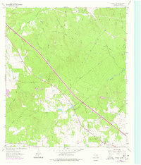
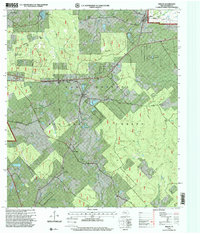
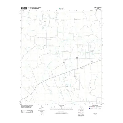
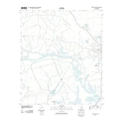
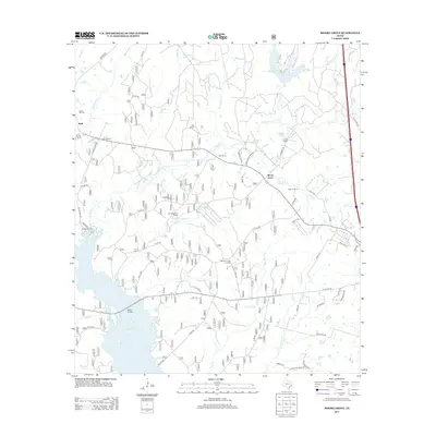
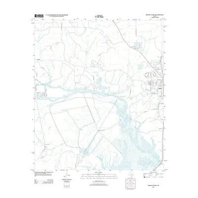
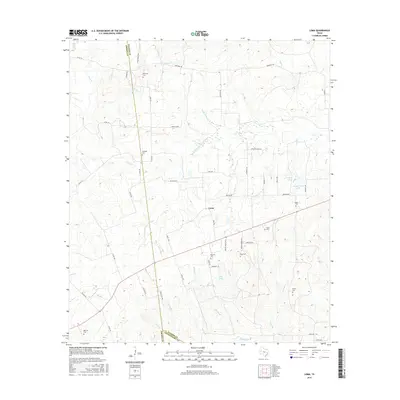
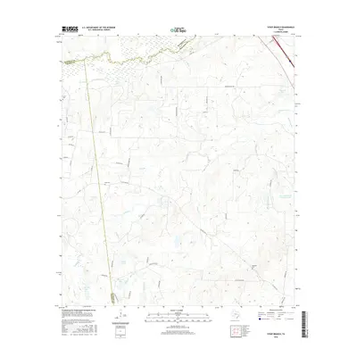
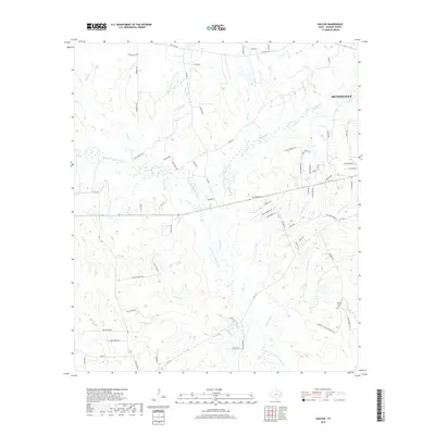
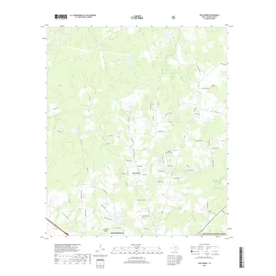
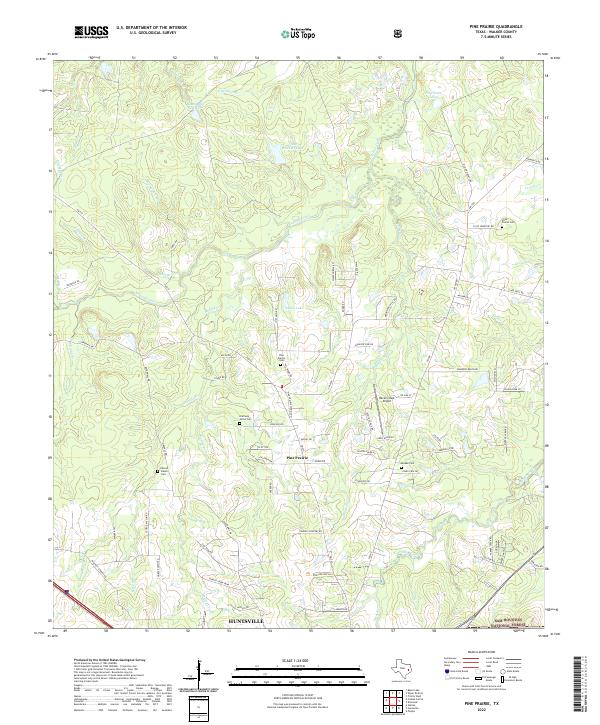
1962 Map of Pine Prairie
USGS Topo · Published 1964About this map
The Wynne State Prison Farm occupies a significant portion of this Walker County landscape, showing the institutional presence in the region during the early 1960s. The settlement of Pine Prairie serves as a central hub for the local community, anchored by the Pine Prairie Ch, Pine Prairie Sch, and Pine Prairie Cem. The presence of the Rosenwald Sch highlights the era’s educational infrastructure, while other nearby congregations such as St Paul Ch and St Marks Ch suggest a well-established rural social network.
Find a feature on this map
31 named features on this map. Tap any name to fly to it.
Don’t see what you’re looking for? This feature index may not catch every label — zoom into the map to look around manually.
Map Details
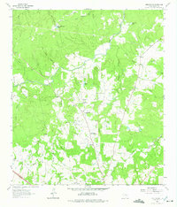
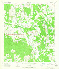
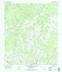
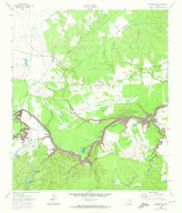
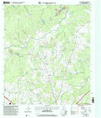
Editions of this 1962 Pine Prairie Map
3 editions found
Historical Maps of Huntsville Through Time
57 maps found
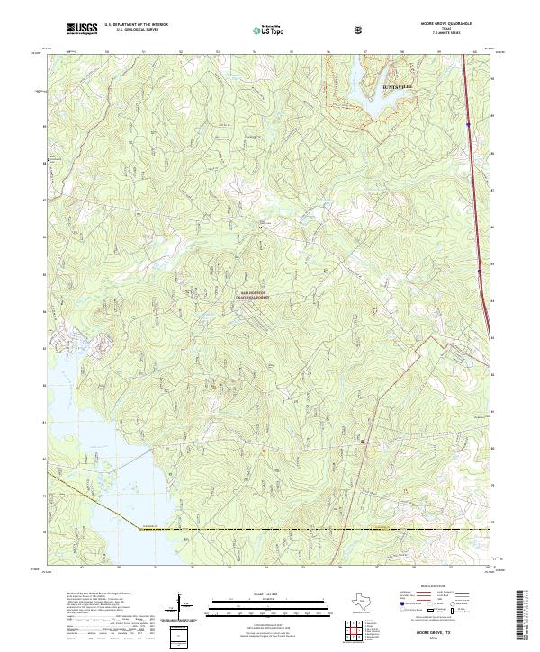
1959 Moore Grove
Walker County, TX
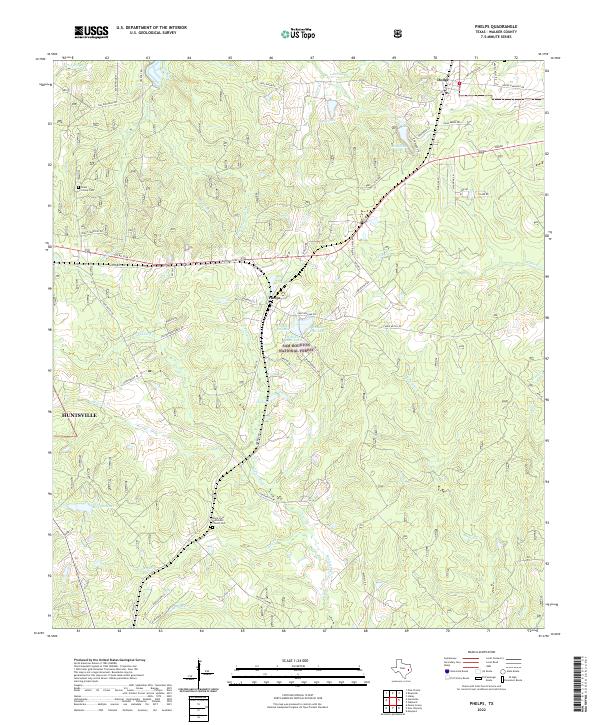
1960 Phelps
Walker County, TX
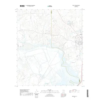
1960 Trinity West
Walker County, TX
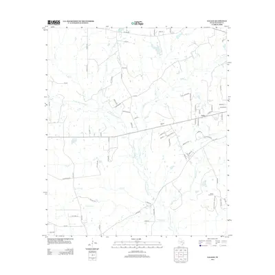
1962 Galilee
Walker County, TX
1962 Pine Prairie
Walker County, TX
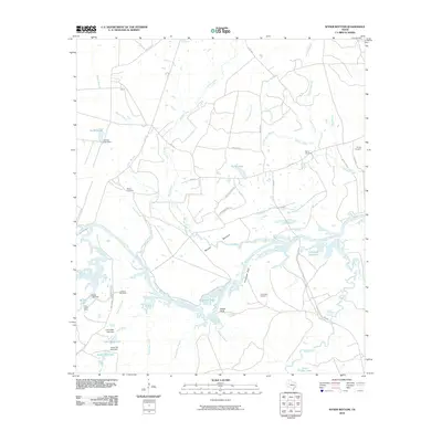
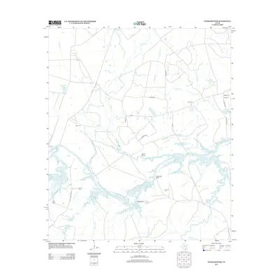
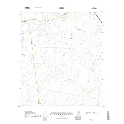
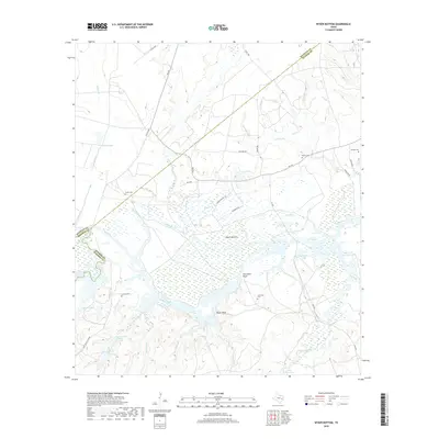
1962 Wyser Bottom
Walker County, TX
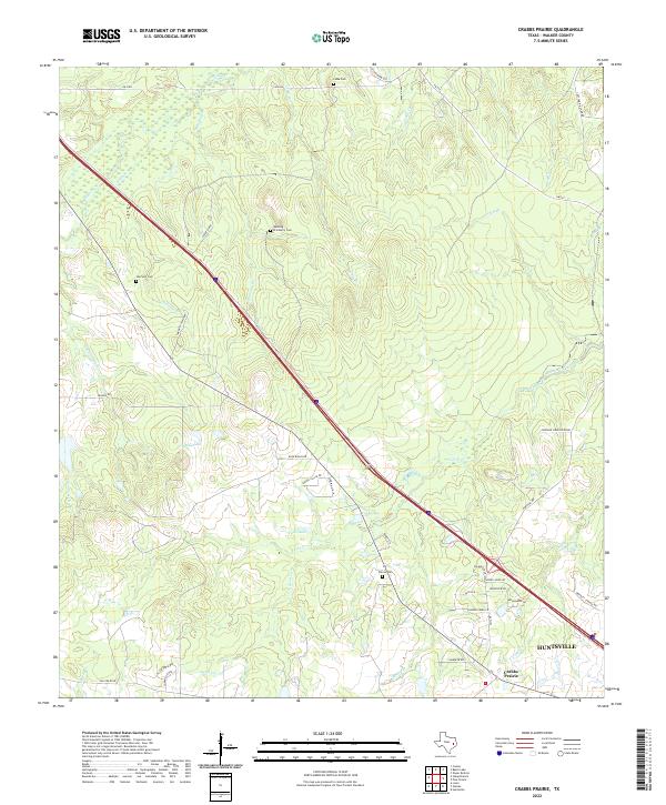
1963 Crabbs Prairie
Walker County, TX
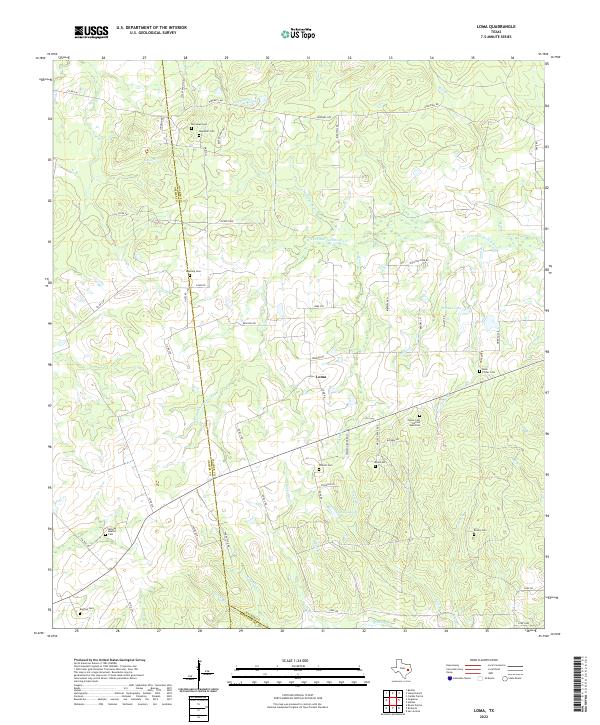
1963 Loma
Walker County, TX
1963 Steep Branch
Walker County, TX
1997 Moore Grove
Walker County, TX
1997 Phelps
Walker County, TX
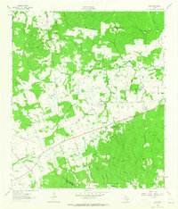
1997 Pine Prairie
Walker County, TX
2010 Crabbs Prairie
Walker County, TX
2010 Galilee
Walker County, TX
2010 Loma
Walker County, TX
2010 Moore Grove
Walker County, TX
2010 Phelps
Walker County, TX
2010 Pine Prairie
Walker County, TX

2010 Steep Branch
Walker County, TX
2010 Trinity West
Walker County, TX
2010 Wyser Bottom
Walker County, TX
2013 Crabbs Prairie
Walker County, TX
2013 Galilee
Walker County, TX

2013 Loma
Walker County, TX
2013 Moore Grove
Walker County, TX
2013 Phelps
Walker County, TX
2013 Pine Prairie
Walker County, TX
2013 Steep Branch
Walker County, TX
2013 Trinity West
Walker County, TX
2013 Wyser Bottom
Walker County, TX
2016 Crabbs Prairie
Walker County, TX
2016 Galilee
Walker County, TX
2016 Loma
Walker County, TX
2016 Moore Grove
Walker County, TX
2016 Phelps
Walker County, TX
2016 Pine Prairie
Walker County, TX
2016 Steep Branch
Walker County, TX
2016 Trinity West
Walker County, TX
2016 Wyser Bottom
Walker County, TX
2019 Crabbs Prairie
Walker County, TX
2019 Galilee
Walker County, TX
2019 Loma
Walker County, TX
2019 Moore Grove
Walker County, TX
2019 Phelps
Walker County, TX
2019 Pine Prairie
Walker County, TX
2019 Steep Branch
Walker County, TX
2019 Trinity West
Walker County, TX
2019 Wyser Bottom
Walker County, TX
2022 Crabbs Prairie
Walker County, TX

2022 Galilee
Walker County, TX
2022 Loma
Walker County, TX
2022 Moore Grove
Walker County, TX
2022 Phelps
Walker County, TX
2022 Pine Prairie
Walker County, TX
2022 Steep Branch
Walker County, TX
2022 Trinity West
Walker County, TX
2022 Wyser Bottom
Walker County, TX