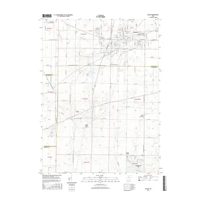
2016 Map of Galion
USGS Topo · Published 2016About this map
Galion anchors the northern edge of this survey, where the Olentangy River and several reservoirs, including Powers Reservoir, Amicks Reservoir, and Amann Reservoir, shape the local hydrology. The landscape transition southward is defined by a series of small rural communities and historic burial sites, such as the German Evangelical Lutheran Cem and Pletcher Cem. The settlement pattern reflects the area's agricultural roots, with unincorporated communities like Iberia, Saint James, and West Point serving as local hubs.
Find a feature on this map
110 named features on this map. Tap any name to fly to it.
Don’t see what you’re looking for? This feature index may not catch every label — zoom into the map to look around manually.
Map Details
Editions of this 2016 Galion Map
This is the sole edition of this map. No revisions or reprints were ever made.
Other maps of this area

1913 · Mount Gilead
USGS Topo · 1:62,500

1915 · Bucyrus
USGS Topo · 1:62,500

1915 · Crestline
USGS Topo · 1:62,500

1915 · Shauck
USGS Topo · 1:62,500

1916 · Mount Gilead
USGS Topo · 1:62,500

1943 · Shauck
USGS Topo · 1:62,500

1943 · Bucyrus
USGS Topo · 1:62,500

1943 · Crestline
USGS Topo · 1:62,500

1943 · Mount Gilead
USGS Topo · 1:62,500

1950 · Marion
USGS Topo · 1:250,000