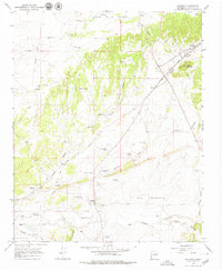
1966 Map of Galisteo
USGS Topo · Published 1979About this map
Galisteo sits as the central hub of this mid-1960s landscape, where the high desert terrain is marked by a complex network of ephemeral drainages and ranching improvements. The area's deep history is evidenced by the Pueblo los Tanos Ruins near Galisteo Creek, while the modern era is defined by the Atchison Topeka and Santa Fe railroad corridor passing through Spiess and Lamy.
Find a feature on this map
53 named features on this map. Tap any name to fly to it.
Don’t see what you’re looking for? This feature index may not catch every label — zoom into the map to look around manually.
Map Details
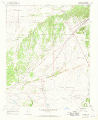
Editions of this 1966 Galisteo Map
2 editions found
Other maps of this area

1889 · Santa Fe
USGS Topo · 1:125,000

1892 · San Pedro
USGS Topo · 1:125,000

1892 · Santa Clara
USGS Topo · 1:125,000

1894 · Santa Fe
USGS Topo · 1:125,000

1894 · Lamy
USGS Topo · 1:125,000

1951 · Turquoise Hill
USGS Topo · 1:24,000

1952 · Turquoise Hill
USGS Topo · 1:24,000

1952 · Seton Village
USGS Topo · 1:24,000

1953 · Glorieta
USGS Topo · 1:24,000

1953 · Agua Fria
USGS Topo · 1:62,500