
1938 Map of Galiuro Mts
USGS Topo · Published 1938About this map
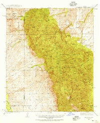
Coronado National Forest dominates this 1938 landscape, where mining and ranching operations are carved into the steep drainages of the Galiuro Mountains. The survey identifies critical resource management and extraction sites including the Bunker Hill Mine, Magma Mine, and the uniquely named Sixteen To One Mine. These industrial nodes are supported by a network of remote outposts such as Gerónimo Camp and established family holdings like Rhodes Ranch and Mercer Ranch. The map also captures the essential infrastructure for forest protection during the era, notably the Deer Creek Fire Guard Sta and the Rattlesnake Ranger Sta. Water management is clearly prioritized in this arid environment, evidenced by labels for numerous springs such as Juniper Spr, Willow Spr, and Holdout Spr, which supported both livestock and human survival in the high desert terrain.
Find a feature on this map
50 named features on this map. Tap any name to fly to it.
Don’t see what you’re looking for? This feature index may not catch every label — zoom into the map to look around manually.
Map Details
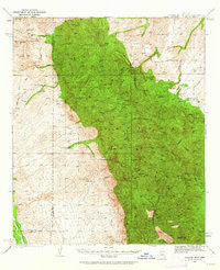
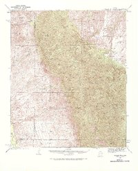
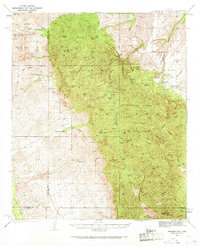
Editions of this 1938 Galiuro Mts Map
5 editions found
Other maps of this area

1904 · Tucson
USGS Topo · 1:125,000

1905 · Tucson
USGS Topo · 1:125,000

1911 · Winkelman
USGS Topo · 1:125,000

1913 · Winkelman
USGS Topo · 1:125,000

1938 · Klondyke
USGS Topo · 1:48,000

1940 · Sierra Bonita Ranch
USGS Topo · 1:62,500

1942 · Sierra Bonita Ranch
USGS Topo · 1:62,500

1943 · Galiuro Mts
USGS Topo · 1:62,500

1943 · Klondyke
USGS Topo · 1:62,500

1943 · Sierra Bonita Ranch
USGS Topo · 1:62,500