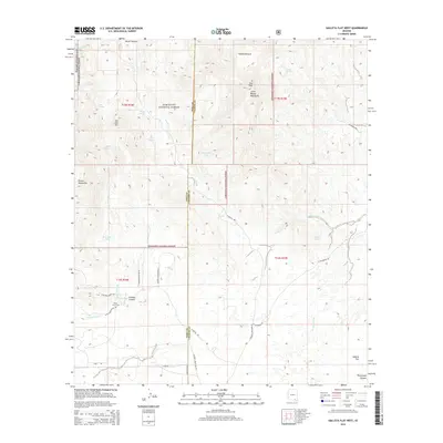
2014 Map of Galleta Flat West
USGS Topo · Published 2014About this map
The Little Rincon Mountains and the eastern edge of the Rincon Mountains define this landscape, where the high desert meets the protected lands of Coronado National Forest and Saguaro National Park. The survey illustrates a terrain of seasonal drainages and essential water sources, such as Bear Spring, Alboud Spring, and San Juan Spring, which supported the early cattle ranching and homesteading history of the area. Notable landmarks like San Juan Hill and Star Peak anchor the high ground, while the lower flats are marked by features like the White Cross Cem near Agua Verde Cr. Local infrastructure is represented by a network of ranch roads including N Desert Sanctuary Rd and Mackenzie Rd, connecting isolated sites like Mackenzie Tank and Rock Pile Tank across the arid basins of Galleta Flat and Secret Pasture.
Find a feature on this map
43 named features on this map. Tap any name to fly to it.
Don’t see what you’re looking for? This feature index may not catch every label — zoom into the map to look around manually.
Map Details
Editions of this 2014 Galleta Flat West Map
This is the sole edition of this map. No revisions or reprints were ever made.
Other maps of this area

1904 · Patagonia
USGS Topo · 1:125,000

1904 · Tucson
USGS Topo · 1:125,000

1905 · Patagonia
USGS Topo · 1:125,000

1905 · Tucson
USGS Topo · 1:125,000

1915 · Benson
USGS Topo · 1:125,000

1926 · Whetstone
USGS Topo · 1:62,500

1943 · Benson
USGS Topo · 1:125,000

1945 · Happy Valley
USGS Topo · 1:62,500

1956 · Nogales
USGS Topo · 1:250,000

1956 · Tucson
USGS Topo · 1:250,000