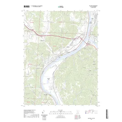
2023 Map of Gallipolis
USGS Topo · Published 2023About this map
The Ohio River serves as the central artery of this region, marking the boundary between Gallia County, Ohio, and Mason County, West Virginia. At the confluence of the Ohio and Kanawha Rivers, the city of Point Pleasant stands across the water from Kanauga, while further downstream the city of Gallipolis anchors the Ohio shore. This modern landscape is defined by its deep historical layers, from the prominent Mound Hill to the dual seats of local government at the Gallia County Courthouse and Mason County Courthouse.
Find a feature on this map
69 named features on this map. Tap any name to fly to it.
Don’t see what you’re looking for? This feature index may not catch every label — zoom into the map to look around manually.
Map Details
Editions of this 2023 Gallipolis Map
This is the sole edition of this map. No revisions or reprints were ever made.
Other maps of this area

1906 · Bidwell
USGS Topo · 1:62,500

1906 · Athalia
USGS Topo · 1:62,500

1906 · Glenwood
USGS Topo · 1:62,500

1908 · Bidwell
USGS Topo · 1:62,500

1908 · Athalia
USGS Topo · 1:62,500

1908 · Glenwood
USGS Topo · 1:62,500

1908 · Point Pleasant
USGS Topo · 1:62,500

1926 · Point Pleasant
USGS Topo · 1:62,500

1929 · Point Pleasant
USGS Topo · 1:62,500

1957 · Beech Hill
USGS Topo · 1:24,000