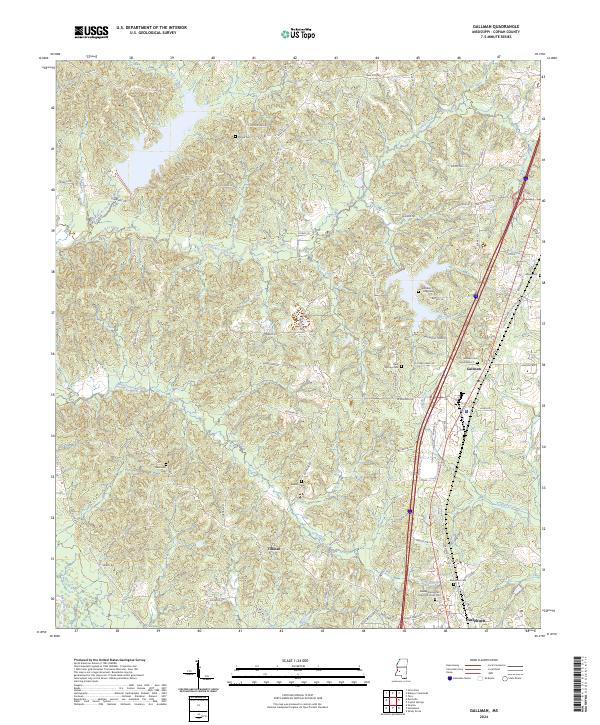
2024 Map of Gallman
USGS Topo · Published 2024About this map
Gallman and the northern reaches of Hazlehurst anchor this modern survey of Copiah County, illustrating the contemporary transportation and settlement patterns of central Mississippi. The terrain is deeply etched by a network of waterways including Turkey Creek, Clear Creek, and Copiah Creek, which shaped the early development of the region. The map preserves the locations of numerous historic burial grounds, such as Pisgah Cem and the Wiltshire King Cem, which serve as vital touchstones for family historians tracing local lineages.
Find a feature on this map
79 named features on this map. Tap any name to fly to it.
Don’t see what you’re looking for? This feature index may not catch every label — zoom into the map to look around manually.
Map Details
Editions of this 2024 Gallman Map
This is the sole edition of this map. No revisions or reprints were ever made.
Other maps of this area

1903 · Jackson
USGS Topo · 1:125,000

1937 · Terry
USGS Topo · 1:48,000

1943 · Terry
USGS Topo · 1:62,500

1953 · Natchez
USGS Topo · 1:250,000

1955 · Jackson
USGS Topo · 1:250,000

1956 · Natchez
USGS Topo · 1:250,000

1959 · Natchez
USGS Topo · 1:250,000

1961 · Jackson
USGS Topo · 1:250,000

1962 · Jackson
USGS Topo · 1:250,000

1963 · Dentville
USGS Topo · 1:24,000