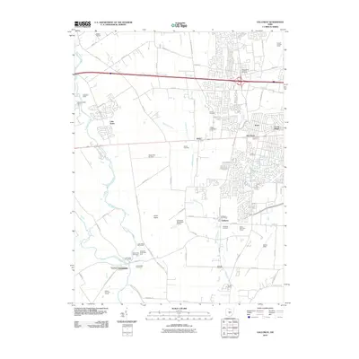
2010 Map of Galloway
USGS Topo · Published 2010About this map
Big Darby Creek and Little Darby Creek define the western reaches of this landscape, where the Georgesville Post Office sits near the confluence. To the east, the sprawling Conrail Buckeye Yards dominate the industrial corridor near Rome and Lincoln Village, illustrating the heavy rail infrastructure essential to the regional economy. The central Darby Plains are marked by several small aviation hubs, including the Darby Dan Air Strip, Columbus Southwest Airport, and Bolton Field.
Find a feature on this map
77 named features on this map. Tap any name to fly to it.
Don’t see what you’re looking for? This feature index may not catch every label — zoom into the map to look around manually.
Map Details
Editions of this 2010 Galloway Map
This is the sole edition of this map. No revisions or reprints were ever made.
Other maps of this area

1901 · Dublin
USGS Topo · 1:62,500

1903 · Dublin
USGS Topo · 1:62,500

1907 · London
USGS Topo · 1:62,500

1916 · Milford Center
USGS Topo · 1:62,500

1923 · West Columbus
USGS Topo · 1:62,500

1925 · West Columbus
USGS Topo · 1:62,500

1944 · Milford Center
USGS Topo · 1:62,500

1947 · Columbus
USGS Topo · 1:250,000

1950 · Marion
USGS Topo · 1:250,000
1954 · Hilliard
USGS Topo · 1:24,000