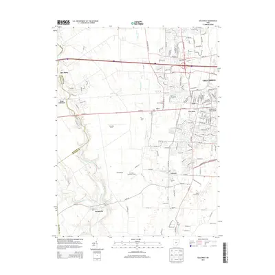
2013 Map of Galloway
USGS Topo · Published 2013About this map
Galloway and Georgesville anchor the southwestern suburbs of Columbus in this 2013 survey, where residential development meets the agricultural Darby Plains. The landscape is defined by the winding course of Big Darby Creek and its tributary, Little Darby Creek, which together form the natural boundary between Madison and Franklin Counties. Numerous family and community burial grounds, including Sunset Cem, Postle Cem, and Oak Grove Cem, are preserved amidst expanding housing tracts and industrial zones.
Find a feature on this map
38 named features on this map. Tap any name to fly to it.
Don’t see what you’re looking for? This feature index may not catch every label — zoom into the map to look around manually.
Map Details
Editions of this 2013 Galloway Map
This is the sole edition of this map. No revisions or reprints were ever made.
Other maps of this area

1901 · Dublin
USGS Topo · 1:62,500

1903 · Dublin
USGS Topo · 1:62,500

1907 · London
USGS Topo · 1:62,500

1916 · Milford Center
USGS Topo · 1:62,500

1923 · West Columbus
USGS Topo · 1:62,500

1925 · West Columbus
USGS Topo · 1:62,500

1944 · Milford Center
USGS Topo · 1:62,500

1947 · Columbus
USGS Topo · 1:250,000

1950 · Marion
USGS Topo · 1:250,000
1954 · Hilliard
USGS Topo · 1:24,000