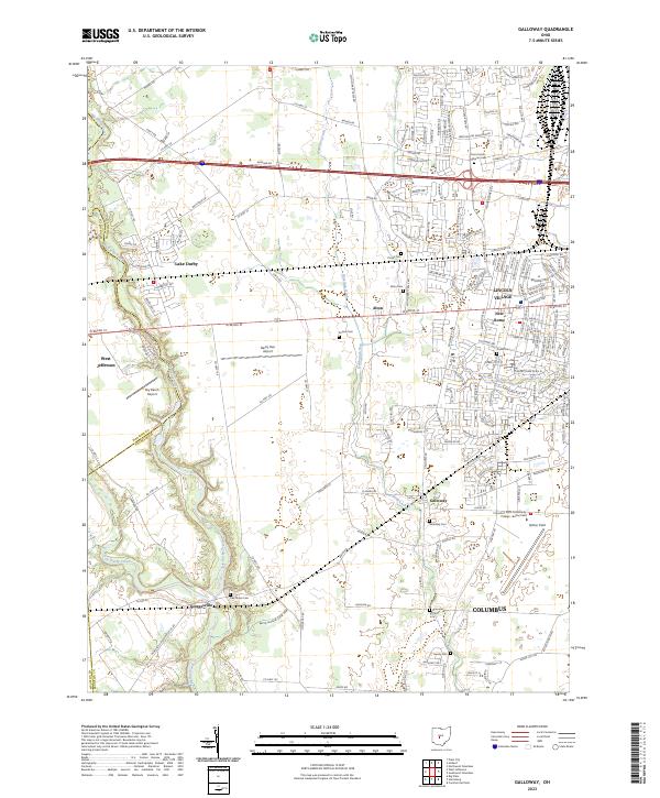
2023 Map of Galloway
USGS Topo · Published 2023About this map
Big Darby Creek carves a winding path along the western edge of this landscape, forming a natural boundary between Franklin and Madison counties. This region west of Columbus shows a transition from the established suburban layout of Lincoln Village and the small municipality of New Rome to the more open fields of Galloway and Georgesville. Aviation history is prominent here, with three distinct facilities including Bolton Field, Darby Dan Airport, and Sky Ranch Airport clustered in the central and southern portions.
Find a feature on this map
175 named features on this map. Tap any name to fly to it.
Don’t see what you’re looking for? This feature index may not catch every label — zoom into the map to look around manually.
Map Details
Editions of this 2023 Galloway Map
This is the sole edition of this map. No revisions or reprints were ever made.
Other maps of this area

1901 · Dublin
USGS Topo · 1:62,500

1903 · Dublin
USGS Topo · 1:62,500

1907 · London
USGS Topo · 1:62,500

1916 · Milford Center
USGS Topo · 1:62,500

1923 · West Columbus
USGS Topo · 1:62,500

1925 · West Columbus
USGS Topo · 1:62,500

1944 · Milford Center
USGS Topo · 1:62,500

1947 · Columbus
USGS Topo · 1:250,000

1950 · Marion
USGS Topo · 1:250,000
1954 · Hilliard
USGS Topo · 1:24,000