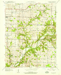
1937 Map of Galloway
USGS Topo · Published 1957About this map
Galloway serves as a focal point for this Greene County landscape during the late 1930s, situated where the St Louis-San Francisco railroad cuts through the terrain. The map documents a dense network of rural infrastructure, from the Kinser Bridge crossing the James River to the numerous country schools like Oak Grove Sch and Plummer Sch that anchored local farming communities.
Find a feature on this map
44 named features on this map. Tap any name to fly to it.
Don’t see what you’re looking for? This feature index may not catch every label — zoom into the map to look around manually.
Map Details
Editions of this 1937 Galloway Map
2 editions found
Other maps of this area

1884 · Springfield
USGS Topo · 1:125,000

1886 · Springfield
USGS Topo · 1:125,000

1935 · Springfield
USGS Topo · 1:24,000

1937 · Galloway
USGS Topo · 1:24,000

1937 · Ozark
USGS Topo · 1:48,000

1943 · Ozark
USGS Topo · 1:62,500

1945 · Ozark
USGS Topo · 1:62,500

1946 · Bassville
USGS Topo · 1:24,000

1947 · Strafford
USGS Topo · 1:62,500

1948 · Bassville
USGS Topo · 1:24,000