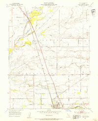
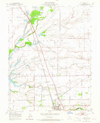
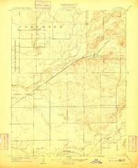
1953 Map of Galt
USGS Topo · Published 1954About this map
The Southern Pacific railroad corridor anchors this Sacramento Valley landscape, running parallel to Stockton Boulevard through the heart of the agricultural region. The settlement of Galt serves as the primary hub at the southern edge, featuring the High Sch and the Sacramento County Fairground near the Sacramento Co San Joaquin Co line. Northward, the land is etched by a complex drainage network where the Cosumnes River and its accompanying levee system give way to numerous seasonal waterways like Badger Creek, Laguna Creek, and Deadman Gulch. Smaller localities such as Twin Cities, Hicksville, and the whistle-stop at McConnell illustrate the mid-century rural settlement pattern. Local history is further preserved in landmarks like the Arno School and Hicksville Cemetery, which sit alongside established farm-to-market routes like Arno Road and Grant Line Road.
Find a feature on this map
52 named features on this map. Tap any name to fly to it.
Don’t see what you’re looking for? This feature index may not catch every label — zoom into the map to look around manually.
Map Details
Editions of this 1953 Galt Map
2 editions found
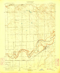
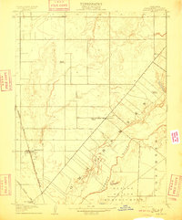
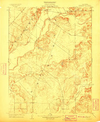
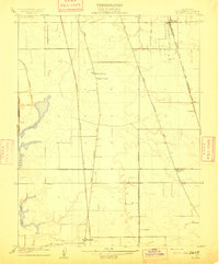
Other maps of this area

1894 · Lodi
USGS Topo · 1:125,000
1908 · Lockeford
USGS Topo · 1:31,680
1909 · Elk Grove
USGS Topo · 1:31,680
1909 · Clay
USGS Topo · 1:31,680
1909 · Cosumnes
USGS Topo · 1:31,680
1909 · Florin
USGS Topo · 1:31,680

1910 · New Hope
USGS Topo · 1:31,680

1910 · Woodbridge
USGS Topo · 1:31,680

1910 · Bruceville
USGS Topo · 1:31,680
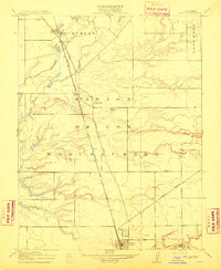
1910 · Galt
USGS Topo · 1:31,680