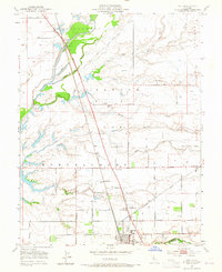
1953 Map of Galt
USGS Topo · Published 1965About this map
Galt serves as the primary hub of this Central Valley landscape, situated along the Southern Pacific rail line near the border of Sacramento Co and San Joaquin Co. The map reveals a highly structured agricultural and hydrological network, where the Cosumnes River and its accompanying Cosumnes River Overflow define the northern terrain. Smaller watercourses such as Laguna Creek, Badger Creek, and Willow Creek weave through the land, feeding into a complex system of levees and irrigation ditches that supported the region's mid-century growth.
Find a feature on this map
51 named features on this map. Tap any name to fly to it.
Don’t see what you’re looking for? This feature index may not catch every label — zoom into the map to look around manually.
Map Details
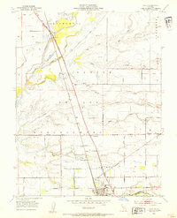
Editions of this 1953 Galt Map
2 editions found
Other maps of this area

1894 · Lodi
USGS Topo · 1:125,000

1908 · Lockeford
USGS Topo · 1:31,680

1909 · Elk Grove
USGS Topo · 1:31,680

1909 · Clay
USGS Topo · 1:31,680

1909 · Cosumnes
USGS Topo · 1:31,680

1909 · Florin
USGS Topo · 1:31,680

1910 · New Hope
USGS Topo · 1:31,680

1910 · Woodbridge
USGS Topo · 1:31,680

1910 · Bruceville
USGS Topo · 1:31,680

1910 · Galt
USGS Topo · 1:31,680