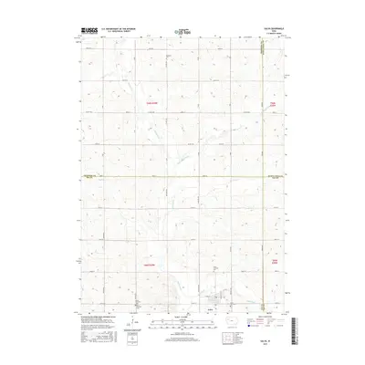
2015 Map of Galva
USGS Topo · Published 2015About this map
Galva sits as the primary hub of this northwestern Iowa landscape, positioned at a unique intersection where Ida, Sac, Cherokee, and Buena Vista counties meet. The town's surrounding terrain is defined by the drainage of the Maple River and its various tributaries, including the Little Maple River and the small stream of Hog Run. The map provides a detailed view of the sectioned agricultural grid, highlighting the rural infrastructure that supports the region's farming economy.
Find a feature on this map
35 named features on this map. Tap any name to fly to it.
Don’t see what you’re looking for? This feature index may not catch every label — zoom into the map to look around manually.
Map Details
Editions of this 2015 Galva Map
This is the sole edition of this map. No revisions or reprints were ever made.
Other maps of this area

1954 · Fort Dodge
USGS Topo · 1:250,000

1957 · Fort Dodge
USGS Topo · 1:250,000

1958 · Fort Dodge
USGS Topo · 1:250,000

1967 · Holstein
USGS Topo · 1:24,000

1967 · Ida Grove NW
USGS Topo · 1:24,000

1969 · Aurelia
USGS Topo · 1:24,000

1969 · Cherokee South
USGS Topo · 1:24,000

1969 · Galva
USGS Topo · 1:24,000

1969 · Quimby SE
USGS Topo · 1:24,000

1979 · Alta
USGS Topo · 1:24,000