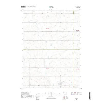
2018 Map of Galva
USGS Topo · Published 2018About this map
Galva anchors this rural landscape at the intersection of four Iowa counties, where the boundaries of Cherokee, Buena Vista, Ida, and Sac meet. The settlement is centered around W 2nd St and E 1st St, with the Galva City Cem and Galva Township Cem marking the town's edges. This 2018 survey reveals a meticulously partitioned agricultural region defined by a grid of section roads like 640th St and Co Hwy M25.
Find a feature on this map
34 named features on this map. Tap any name to fly to it.
Don’t see what you’re looking for? This feature index may not catch every label — zoom into the map to look around manually.
Map Details
Editions of this 2018 Galva Map
This is the sole edition of this map. No revisions or reprints were ever made.
Other maps of this area

1954 · Fort Dodge
USGS Topo · 1:250,000

1957 · Fort Dodge
USGS Topo · 1:250,000

1958 · Fort Dodge
USGS Topo · 1:250,000

1967 · Holstein
USGS Topo · 1:24,000

1967 · Ida Grove NW
USGS Topo · 1:24,000

1969 · Aurelia
USGS Topo · 1:24,000

1969 · Cherokee South
USGS Topo · 1:24,000

1969 · Galva
USGS Topo · 1:24,000

1969 · Quimby SE
USGS Topo · 1:24,000

1979 · Alta
USGS Topo · 1:24,000