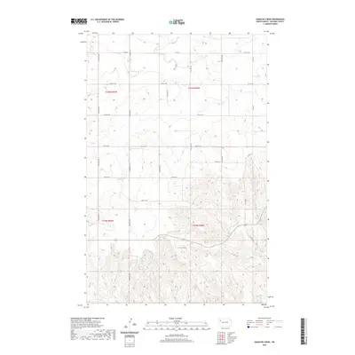
2020 Map of Gamache Creek
USGS Topo · Published 2020About this map
Gamache Creek and Short Creek carve their way through the high prairie of Williams County, creating a distinctively dissected landscape in the northwestern corner of North Dakota. This modern survey illustrates the systematic grid of the Public Land Survey System, with townships such as t155n r98w and t154n r99w organized into mile-square sections. The road network follows these section lines closely, anchored by local arteries like Co Rd 6 and Co Rd 15. The drainage patterns of Long Creek in the southwest corner highlight the undulating topography of the region. While primarily agricultural and open, the map details the precise infrastructure of 21st-century rural life, from the alignment of 124th Ave NW to the junction of 119th Rd NW near the creek's lower reaches.
Find a feature on this map
23 named features on this map. Tap any name to fly to it.
Don’t see what you’re looking for? This feature index may not catch every label — zoom into the map to look around manually.
Map Details
Editions of this 2020 Gamache Creek Map
This is the sole edition of this map. No revisions or reprints were ever made.
Other maps of this area

1911 · Ray
USGS Topo · 1:125,000

1953 · Williston
USGS Topo · 1:250,000

1957 · Williston
USGS Topo · 1:250,000

1969 · Cussicks Spring
USGS Topo · 1:24,000

1978 · Lake Jessie
USGS Topo · 1:24,000

1978 · Ray
USGS Topo · 1:24,000

1978 · Epping
USGS Topo · 1:24,000
1978 · Banks
USGS Topo · 1:24,000

1978 · Spring Brook
USGS Topo · 1:24,000
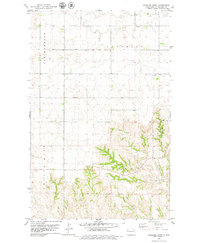
1978 · Gamache Creek
USGS Topo · 1:24,000