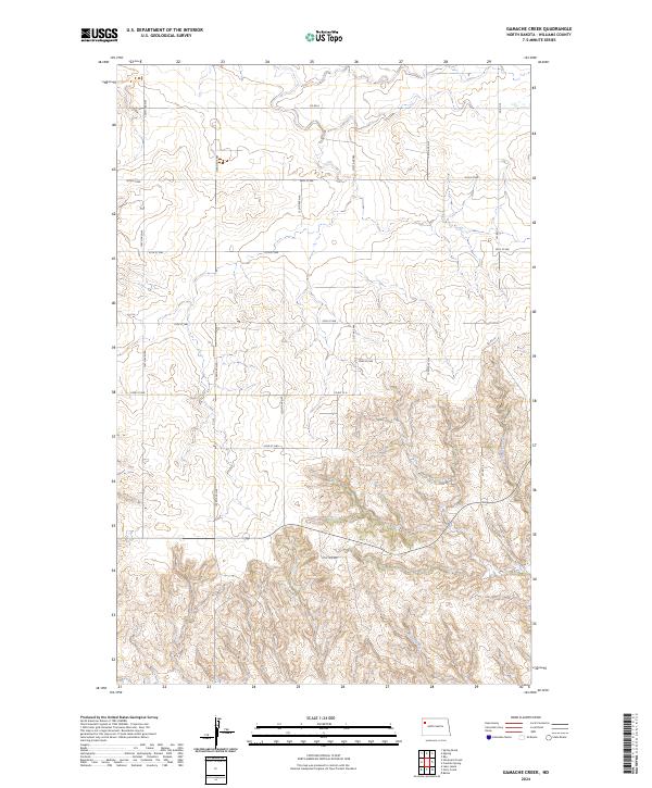
2024 Map of Gamache Creek
USGS Topo · Published 2024About this map
Gamache Creek and Short Creek wind through this corner of Williams County, defining the drainage patterns of a landscape segmented by the Public Land Survey System. The map reveals a structured grid of rural infrastructure, where established routes like Co Rd 6 and Co Rd 15 intersect a network of section-line roads such as 124th Ave NW and 56th St NW. This layout is characteristic of the High Plains, where topographic contours show the gradual descent into the creek valleys, contrasting with the flat, productive uplands above.
Find a feature on this map
20 named features on this map. Tap any name to fly to it.
Don’t see what you’re looking for? This feature index may not catch every label — zoom into the map to look around manually.
Map Details
Editions of this 2024 Gamache Creek Map
This is the sole edition of this map. No revisions or reprints were ever made.
Other maps of this area

1911 · Ray
USGS Topo · 1:125,000

1953 · Williston
USGS Topo · 1:250,000

1957 · Williston
USGS Topo · 1:250,000

1969 · Cussicks Spring
USGS Topo · 1:24,000

1978 · Lake Jessie
USGS Topo · 1:24,000

1978 · Ray
USGS Topo · 1:24,000

1978 · Epping
USGS Topo · 1:24,000
1978 · Banks
USGS Topo · 1:24,000

1978 · Spring Brook
USGS Topo · 1:24,000
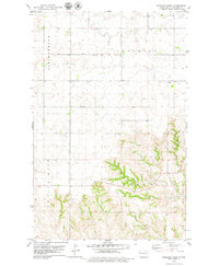
1978 · Gamache Creek
USGS Topo · 1:24,000