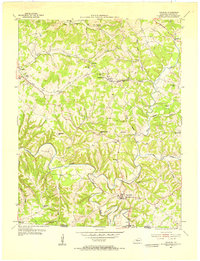
1954 Map of Gamaliel
USGS Topo · Published 1955About this map
Gamaliel sits at the heart of this Monroe County landscape, serving as a hub for the small agricultural communities and rural schoolhouses of the mid-1950s. The terrain is defined by the winding course of the Barren River, which cuts through the southern portion of the sheet near Bugtussle. The map reveals a high density of one-room and community schoolhouses such as Mud Slash Sch, Alexander Sch, and McPeak Sch, many of which were the social anchors for families in outlying areas like Flippin and Gum Tree.
Find a feature on this map
41 named features on this map. Tap any name to fly to it.
Don’t see what you’re looking for? This feature index may not catch every label — zoom into the map to look around manually.
Map Details
Editions of this 1954 Gamaliel Map
2 editions found
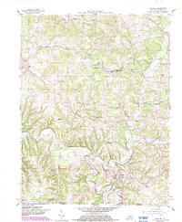
Other maps of this area
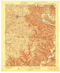
1929 · Tompkinsville
USGS Topo · 1:62,500
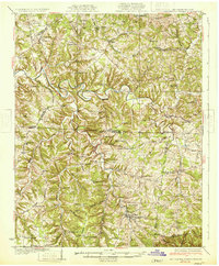
1931 · Red Boiling Springs
USGS Topo · 1:62,500
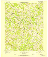
1953 · Tracy
USGS Topo · 1:24,000
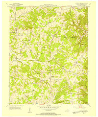
1953 · Sulphur Lick
USGS Topo · 1:24,000
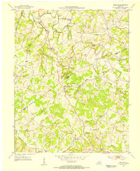
1953 · Freedom
USGS Topo · 1:24,000
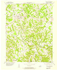
1954 · Fountain Run
USGS Topo · 1:24,000
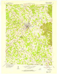
1954 · Tompkinsville
USGS Topo · 1:24,000
1956 · Corbin
USGS Topo · 1:250,000
1958 · Corbin
USGS Topo · 1:250,000
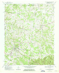
1968 · Red Boiling Springs
USGS Topo · 1:24,000