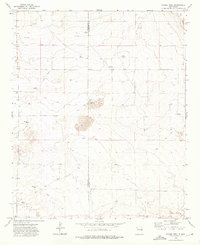
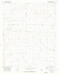
1973 Map of Gammil Well
USGS Topo · Published 1975About this map
Gammil Well and a network of named water sources define this high plains landscape along the border of De Baca and Roosevelt Counties. Surveyed in the early 1970s, the terrain is characterized by its reliance on subterranean water, with numerous windmills such as Koutz Windmill, Big Windmill, and Jones Windmill distributed across the range. These sites, along with Benathy Well and Anderson Well, indicate a landscape managed for ranching, where isolated water points served as the primary hubs for activity.
Find a feature on this map
17 named features on this map. Tap any name to fly to it.
Don’t see what you’re looking for? This feature index may not catch every label — zoom into the map to look around manually.
Map Details
Editions of this 1973 Gammil Well Map
2 editions found
Other maps of this area

1954 · Fort Sumner
USGS Topo · 1:250,000

1954 · Clovis
USGS Topo · 1:250,000

1958 · Fort Sumner
USGS Topo · 1:250,000

1958 · Clovis
USGS Topo · 1:250,000
1967 · Howell Ranch
USGS Topo · 1:24,000
1967 · Watts Hill
USGS Topo · 1:24,000

1968 · Lomas Gatos
USGS Topo · 1:24,000

1973 · Gammil Well SE
USGS Topo · 1:24,000

1973 · Gammil Well NE
USGS Topo · 1:24,000
1973 · Rippee Ranch
USGS Topo · 1:24,000