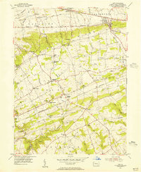
1955 Map of Gap
USGS Topo · Published 1956About this map
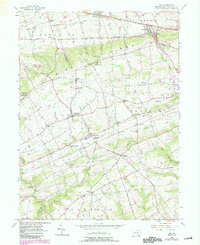
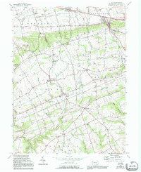
The ridge-and-valley topography of eastern Lancaster County is dominated here by the steep rise of Mine Ridge, a geological feature that historically influenced both transportation and industry in the region. The settlement of Nickel Mines remains a focal point, including the Nickel Mines Mission and evidence of local extraction labeled simply as Mine. Further north, the vital transportation corridor of the Pennsylvania RR and the Pennsylvania 3 Lane Lincoln Highway pass through the strategic low point at Gap, linking the rural townships of Paradise and Salisbury.
Find a feature on this map
69 named features on this map. Tap any name to fly to it.
Don’t see what you’re looking for? This feature index may not catch every label — zoom into the map to look around manually.
Map Details
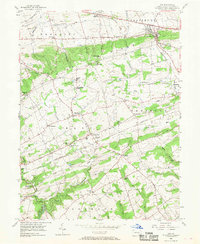
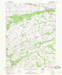
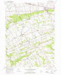
Editions of this 1955 Gap Map
6 editions found
Other maps of this area

1904 · Coatesville
USGS Topo · 1:62,500

1905 · Honey Brook
USGS Topo · 1:62,500

1906 · Coatesville
USGS Topo · 1:62,500

1906 · New Holland
USGS Topo · 1:62,500

1907 · Honeybrook
USGS Topo · 1:62,500

1908 · New Holland
USGS Topo · 1:62,500

1912 · Quarryville
USGS Topo · 1:62,500

1918 · Coatesville
USGS Topo · 1:62,500

1941 · Honeybrook
USGS Topo · 1:62,500

1941 · New Holland
USGS Topo · 1:62,500
Featured Places
- Paradise Township, PA
- Colerain Township, PA
- Sadsbury Township, PA
- Salisbury Township, PA
- Georgetown, Bart Township