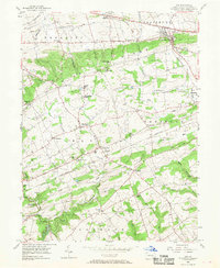
1955 Map of Gap
USGS Topo · Published 1968About this map
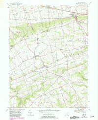
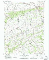
Mine Ridge dominates the central landscape of this rural Lancaster County quadrangle, serving as a backdrop for the historic copper and nickel mining operations near Nickel Mines. In the mid-1950s, the region was defined by a dense network of country roads, including the Lincoln Highway and Strasburg Road, which linked small agricultural and mining communities. The Pennsylvania RR cuts through the northern corridor, serving towns like Gap and Kinzers. Local life centered around a significant number of rural institutions, such as the Middle Octorara Ch and various Township Schools, reflecting the area's long-established settlement patterns. To the south, the terrain softens into the drainage basins of Octoraro Creek and Bells Run, where landmarks like Conners Mill signify the early water-powered industry that once supported these farming townships.
Find a feature on this map
71 named features on this map. Tap any name to fly to it.
Don’t see what you’re looking for? This feature index may not catch every label — zoom into the map to look around manually.
Map Details
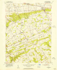
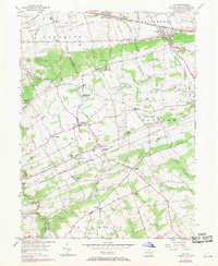
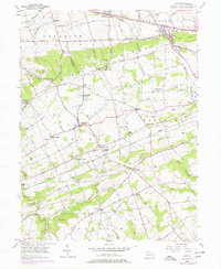
Editions of this 1955 Gap Map
6 editions found
Other maps of this area

1904 · Coatesville
USGS Topo · 1:62,500

1905 · Honey Brook
USGS Topo · 1:62,500

1906 · Coatesville
USGS Topo · 1:62,500

1906 · New Holland
USGS Topo · 1:62,500

1907 · Honeybrook
USGS Topo · 1:62,500

1908 · New Holland
USGS Topo · 1:62,500

1912 · Quarryville
USGS Topo · 1:62,500

1918 · Coatesville
USGS Topo · 1:62,500

1941 · Honeybrook
USGS Topo · 1:62,500

1941 · New Holland
USGS Topo · 1:62,500
Featured Places
- Paradise Township, PA
- Colerain Township, PA
- Sadsbury Township, PA
- Salisbury Township, PA
- Georgetown, Bart Township