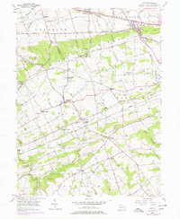
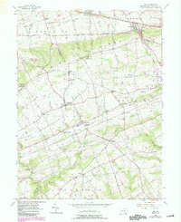
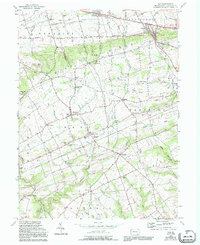
1955 Map of Gap
USGS Topo · Published 1977About this map
Mine Ridge dominates the central landscape of this Lancaster County quadrangle, serving as a backdrop for the industrial and agricultural development of Bart and Sadsbury townships. The local economy is deeply tied to the land, evidenced by the clustered settlement of Nickel Mines and the historic Nickel Mines Mission, which speak to the area’s mineral wealth. To the east, the village of Christiana sits along the Conrail line, a critical transportation corridor that also passes through Gap and Jacksonville.
Find a feature on this map
60 named features on this map. Tap any name to fly to it.
Don’t see what you’re looking for? This feature index may not catch every label — zoom into the map to look around manually.
Map Details
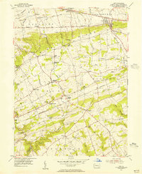
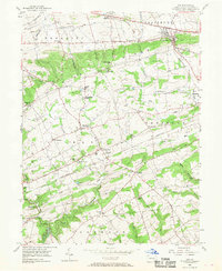
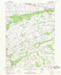
Editions of this 1955 Gap Map
6 editions found
Other maps of this area

1904 · Coatesville
USGS Topo · 1:62,500

1905 · Honey Brook
USGS Topo · 1:62,500

1906 · Coatesville
USGS Topo · 1:62,500

1906 · New Holland
USGS Topo · 1:62,500

1907 · Honeybrook
USGS Topo · 1:62,500

1908 · New Holland
USGS Topo · 1:62,500

1912 · Quarryville
USGS Topo · 1:62,500

1918 · Coatesville
USGS Topo · 1:62,500

1941 · Honeybrook
USGS Topo · 1:62,500

1941 · New Holland
USGS Topo · 1:62,500
Featured Places
- Paradise Township, PA
- Colerain Township, PA
- Sadsbury Township, PA
- Salisbury Township, PA
- Georgetown, Bart Township