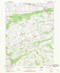
1955 Map of Gap
USGS Topo · Published 1970About this map
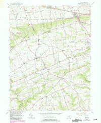
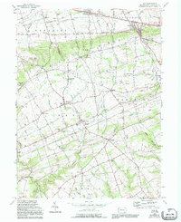
Mine Ridge cuts across this part of Lancaster County, forming a high divide between the northern and southern valleys during this mid-century period. The industrial legacy of the area is centered on Nickel Mines, where the Nickel Mines Mission and Nickel Mines Sch served a community built around local mineral extraction. To the north, the Lincoln Highway and the Penn Central rail line facilitate movement through Gap and Kinzers, while the southern half of the map reveals a more agrarian landscape defined by the West Branch Octoraro Creek. Local civic life is visible in the dense network of rural institutions like the Octorara Ch and the Brick Sch, alongside small crossroads settlements such as Ninepoints and Georgetown.
Find a feature on this map
73 named features on this map. Tap any name to fly to it.
Don’t see what you’re looking for? This feature index may not catch every label — zoom into the map to look around manually.
Map Details
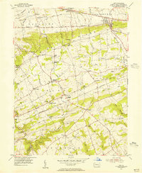
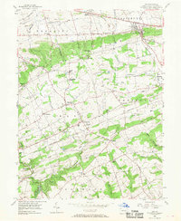
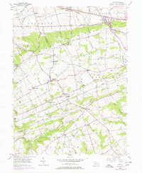
Editions of this 1955 Gap Map
6 editions found
Other maps of this area

1904 · Coatesville
USGS Topo · 1:62,500

1905 · Honey Brook
USGS Topo · 1:62,500

1906 · Coatesville
USGS Topo · 1:62,500

1906 · New Holland
USGS Topo · 1:62,500

1907 · Honeybrook
USGS Topo · 1:62,500

1908 · New Holland
USGS Topo · 1:62,500

1912 · Quarryville
USGS Topo · 1:62,500

1918 · Coatesville
USGS Topo · 1:62,500

1941 · Honeybrook
USGS Topo · 1:62,500

1941 · New Holland
USGS Topo · 1:62,500
Featured Places
- Paradise Township, PA
- Colerain Township, PA
- Sadsbury Township, PA
- Salisbury Township, PA
- Georgetown, Bart Township