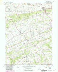
1955 Map of Gap
USGS Topo · Published 1989About this map
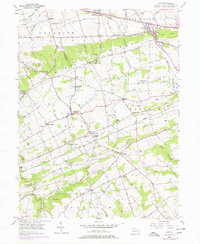
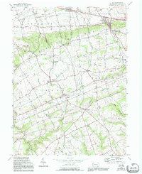
Mine Ridge defines the topography of this Lancaster County landscape, where the agricultural traditions of the Pequea and Octorara valleys meet historical industrial activity. The presence of Nickel Mines and the nearby Nickel Mines Mission indicates a localized mineral economy that influenced settlement patterns along the ridge. To the north, the corridor of the Pennsylvania Railroad and Lincoln Highway supports established hubs like Gap and Kinzers (Kinzer Sta).
Find a feature on this map
59 named features on this map. Tap any name to fly to it.
Don’t see what you’re looking for? This feature index may not catch every label — zoom into the map to look around manually.
Map Details
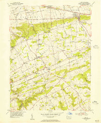
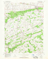
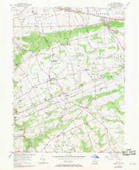
Editions of this 1955 Gap Map
6 editions found
Other maps of this area

1904 · Coatesville
USGS Topo · 1:62,500

1905 · Honey Brook
USGS Topo · 1:62,500

1906 · Coatesville
USGS Topo · 1:62,500

1906 · New Holland
USGS Topo · 1:62,500

1907 · Honeybrook
USGS Topo · 1:62,500

1908 · New Holland
USGS Topo · 1:62,500

1912 · Quarryville
USGS Topo · 1:62,500

1918 · Coatesville
USGS Topo · 1:62,500

1941 · Honeybrook
USGS Topo · 1:62,500

1941 · New Holland
USGS Topo · 1:62,500
Featured Places
- Paradise Township, PA
- Colerain Township, PA
- Sadsbury Township, PA
- Salisbury Township, PA
- Georgetown, Bart Township