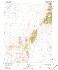
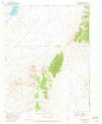
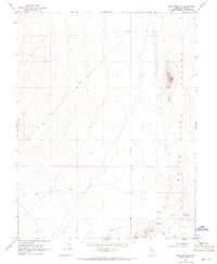
1969 Map of Gap Mountain
USGS Topo · Published 1983About this map
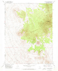
Gap Mountain dominates this portion of the high desert along the border of Nye and Lincoln Counties as recorded in the late 1960s. The landscape is defined by the broad White River Valley, where water resources were critical for any human activity. This is evidenced by the presence of Adams-McGill Reservoir and its associated drainage from Hot Creek.
Find a feature on this map
11 named features on this map. Tap any name to fly to it.
Don’t see what you’re looking for? This feature index may not catch every label — zoom into the map to look around manually.
Map Details
Editions of this 1969 Gap Mountain Map
2 editions found
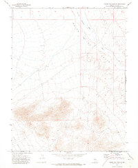
Other maps of this area

1956 · Lund
USGS Topo · 1:250,000

1960 · Lund
USGS Topo · 1:250,000
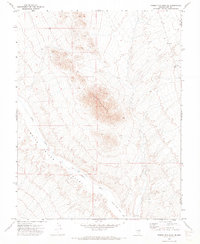
1969 · Gap Mountain
USGS Topo · 1:24,000
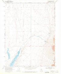
1969 · Sunnyside
USGS Topo · 1:24,000
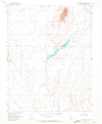
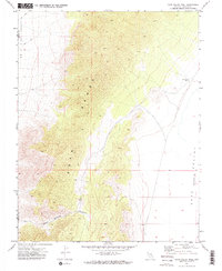
1969 · Hot Creek Butte
USGS Topo · 1:24,000
1969 · Sunnyside NW
USGS Topo · 1:24,000
1971 · Timber Mtn Pass NW
USGS Topo · 1:24,000
1971 · Timber Mtn Pass NE
USGS Topo · 1:24,000
1971 · Cave Valley Well
USGS Topo · 1:24,000
1971 · Silver King Mtn
USGS Topo · 1:24,000