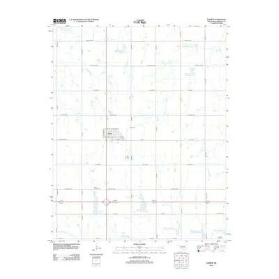
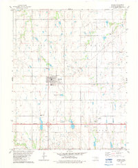
2012 Map of Garber
USGS Topo · Published 2012About this map
Garber serves as the central hub of this Garfield County landscape, organized by a precise grid of rural roads and water management features. The town site itself is defined by core thoroughfares like Main St and W Railroad St, reflecting a layout influenced by early rail transport. The surrounding terrain is heavily modified for water conservation, evidenced by a series of numbered reservoirs including Upper Red Rock Cr Site 41 Reservoir and Upper Black Bear Cr Site 30 Reservoir. These sites, along with Elkhorn Cr and the main branch of Black Bear Cr, indicate a sophisticated system of flood control and agricultural water management. Genealogists will find three distinct burial grounds: the Garber Cem north of town, the Garber Lutheran Cem to the south, and the Blackbear Cem in the southeastern corner of the quadrangle.
Find a feature on this map
41 named features on this map. Tap any name to fly to it.
Don’t see what you’re looking for? This feature index may not catch every label — zoom into the map to look around manually.
Map Details
Editions of this 2012 Garber Map
This is the sole edition of this map. No revisions or reprints were ever made.
Other maps of this area

1955 · Enid
USGS Topo · 1:250,000
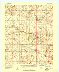
1956 · Garber
USGS Topo · 1:62,500

1958 · Enid
USGS Topo · 1:250,000
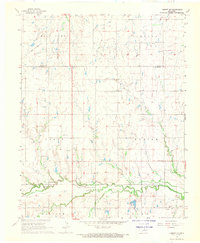
1968 · Lamont SE
USGS Topo · 1:24,000
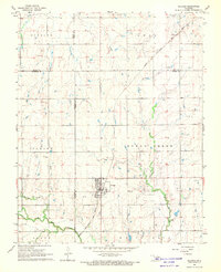
1968 · Billings
USGS Topo · 1:24,000
1968 · Hunter
USGS Topo · 1:24,000
1972 · Perry NW
USGS Topo · 1:24,000
1972 · Lucien
USGS Topo · 1:24,000
1979 · Perry NW
USGS Topo · 1:24,000
1982 · Garber
USGS Topo · 1:24,000