
1950 Map of Garber
USGS Topo · Published 1981About this map
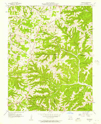
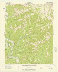
The Ozark plateau landscape is defined here by the deep incisions of Roark Creek and Indian Creek, where the rising waters of Table Rock Lake begin to fill the valley floors. Cultural heritage sites connected to local lore are prominent, including Old Matt's Cabin and the Shepherd of the Hills Museum at Inspiration Point. These landmarks, along with the subterranean complex of Marvel Cave, illustrate the area's early 20th-century evolution into a regional destination.
Find a feature on this map
47 named features on this map. Tap any name to fly to it.
Don’t see what you’re looking for? This feature index may not catch every label — zoom into the map to look around manually.
Map Details
Editions of this 1950 Garber Map
This is the sole edition of this map. No revisions or reprints were ever made.
Other maps of this area

1907 · Forsyth
USGS Topo · 1:125,000

1945 · Harrison
USGS Topo · 1:250,000

1949 · Harrison
USGS Topo · 1:250,000

1954 · Harrison
USGS Topo · 1:250,000

1955 · Day
USGS Topo · 1:24,000

1956 · Lampe
USGS Topo · 1:24,000

1956 · Table Rock Dam
USGS Topo · 1:24,000

1956 · Garber
USGS Topo · 1:24,000
1956 · Spokane
USGS Topo · 1:24,000
1956 · Reeds Spring
USGS Topo · 1:24,000