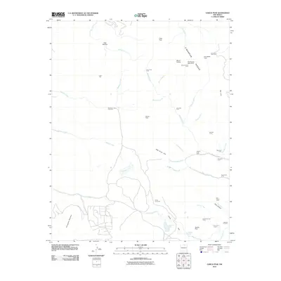
2010 Map of Garcia Peak
USGS Topo · Published 2010About this map
Llano Vista sits at the southwestern edge of a landscape defined by the high peaks of the Cimarron Range. This high-altitude terrain in Colfax County is marked by a network of seasonal outposts and specialized camps, such as American Creek Cow Camp and Garcia Cow Camp, which reflect the area's grazing history. The drainage systems of Saladon Creek and Agua Fria Creek anchor the low-lying basins, including Saladon Lake and Agua Fria Lake. High points like Mount Phillips and Garcia Peak overlook numerous mountain camps, including Lost Cabin Camp and Apache Springs Camp, indicating a region long used for backcountry trekking and seasonal livestock management. The transition from the open expanses of Wild Horse Park to the narrow defiles of Bear Canyon illustrates the complex topography of this northern New Mexico territory.
Find a feature on this map
51 named features on this map. Tap any name to fly to it.
Don’t see what you’re looking for? This feature index may not catch every label — zoom into the map to look around manually.
Map Details
Editions of this 2010 Garcia Peak Map
This is the sole edition of this map. No revisions or reprints were ever made.
Other maps of this area
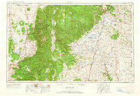
1954 · Raton
USGS Topo · 1:250,000
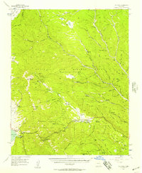
1955 · Ute Park
USGS Topo · 1:62,500
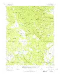
1956 · Tooth Of Time
USGS Topo · 1:62,500
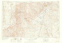
1958 · Raton
USGS Topo · 1:250,000
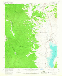
1963 · Eagle Nest
USGS Topo · 1:24,000
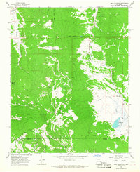
1965 · Osha Mountain
USGS Topo · 1:24,000
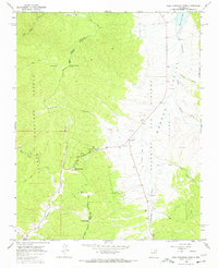
1965 · Palo Flechado Pass
USGS Topo · 1:24,000
1982 · Wheeler Peak
USGS Topo · 1:100,000
1983 · Taos
USGS Topo · 1:100,000
1987 · Ute Park
USGS Topo · 1:24,000