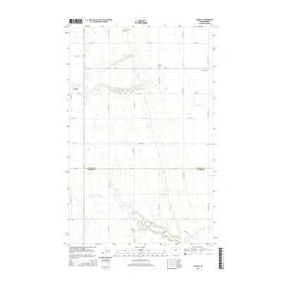
2014 Map of Gardar
USGS Topo · Published 2014About this map
Gardar sits at the northern edge of the Pembina-Walsh county line, a settlement defined by the winding paths of the N Br Park River and the Middle Br Park River. The landscape is etched with local history, from the Stokesville Cem in the north to the Lampton Cem further south, each marking the heritage of this rural community. The grid of country roads, including Co Road 7 and Co Road 1, connects isolated farms and landmarks like the Olafson Brothers Airport. In the northeastern corner, a distinct terrain feature known as The Coulee breaks the agricultural plains, illustrating the drainage patterns that have shaped land use in this corner of North Dakota.
Find a feature on this map
17 named features on this map. Tap any name to fly to it.
Don’t see what you’re looking for? This feature index may not catch every label — zoom into the map to look around manually.
Map Details
Editions of this 2014 Gardar Map
This is the sole edition of this map. No revisions or reprints were ever made.
Other maps of this area
1944 · Crystal
USGS Topo · 1:62,500
1952 · Thief River Falls
USGS Topo · 1:250,000
1956 · Thief River Falls
USGS Topo · 1:250,000
1957 · Thief River Falls
USGS Topo · 1:250,000
1963 · Crystal
USGS Topo · 1:24,000
1963 · Edinburg
USGS Topo · 1:24,000
1963 · Gardar
USGS Topo · 1:24,000
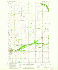
1963 · Park River
USGS Topo · 1:24,000
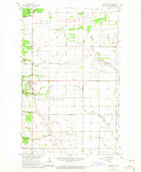
1964 · Mountain
USGS Topo · 1:24,000
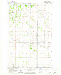
1964 · Hensel
USGS Topo · 1:24,000