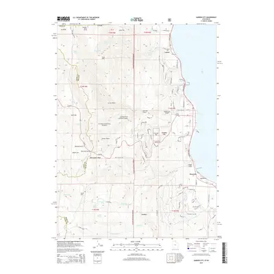
2014 Map of Garden City
USGS Topo · Published 2014About this map
Bear Lake defines the eastern edge of this 2014 survey, where the turquoise waters meet a shoreline dotted with established resorts and communities. The transition from the lakefront to the high elevations of the Cache National Forest is immediate, marked by the climb toward Bear Lake Summit along Hwy 89. This transport corridor connects the waterfront developments of Garden City, Pickelville, and Ideal Beach to the high-country peaks and meadows.
Find a feature on this map
99 named features on this map. Tap any name to fly to it.
Don’t see what you’re looking for? This feature index may not catch every label — zoom into the map to look around manually.
Map Details
Editions of this 2014 Garden City Map
This is the sole edition of this map. No revisions or reprints were ever made.
Other maps of this area

1909 · Montpelier
USGS Topo · 1:125,000

1911 · Montpelier
USGS Topo · 1:125,000

1912 · Randolph
USGS Topo · 1:125,000

1914 · Logan
USGS Topo · 1:125,000

1915 · Preston
USGS Topo · 1:96,000

1916 · Logan
USGS Topo · 1:125,000

1918 · Preston
USGS Topo · 1:125,000

1954 · Ogden
USGS Topo · 1:250,000

1955 · Preston
USGS Topo · 1:250,000

1958 · Ogden
USGS Topo · 1:250,000