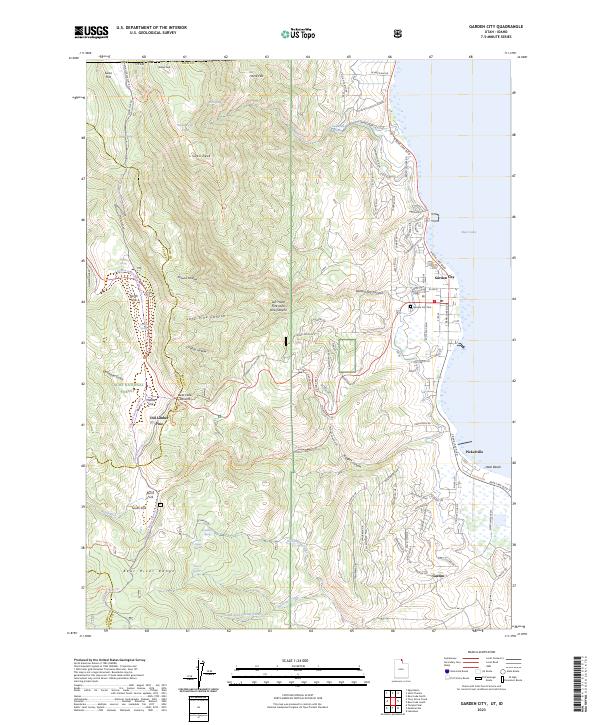
2023 Map of Garden City
USGS Topo · Published 2023About this map
Bear Lake dominates the eastern edge of this region, where the shoreline settlements of Garden City, Pickelville, and Ideal Beach serve as gateways to the high country of the Bear River Range. The landscape rises sharply from the water’s edge into the Cache National Forest, revealing a complex network of canyons and hollows including Garden City Canyon and Chubby Hollow. This area is characterized by its vital water sources, from Swan Creek Springs to numerous mountain springs like Fern Spring and Hodge Spring, which have long supported both local agriculture and the development of summer retreats like the Mountain Springs Resort.
Find a feature on this map
113 named features on this map. Tap any name to fly to it.
Don’t see what you’re looking for? This feature index may not catch every label — zoom into the map to look around manually.
Map Details
Editions of this 2023 Garden City Map
This is the sole edition of this map. No revisions or reprints were ever made.
Other maps of this area

1909 · Montpelier
USGS Topo · 1:125,000

1911 · Montpelier
USGS Topo · 1:125,000

1912 · Randolph
USGS Topo · 1:125,000

1914 · Logan
USGS Topo · 1:125,000

1915 · Preston
USGS Topo · 1:96,000

1916 · Logan
USGS Topo · 1:125,000

1918 · Preston
USGS Topo · 1:125,000

1954 · Ogden
USGS Topo · 1:250,000

1955 · Preston
USGS Topo · 1:250,000

1958 · Ogden
USGS Topo · 1:250,000