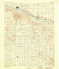
1896 Map of Garden
USGS Topo · Published 1904About this map
Arkansas River waters and the Atchison Topeka and Santa Fe R. R. corridor define the early infrastructure of this High Plains landscape. The map centers on the regional hub at Garden, recording a period when frontier rail connectivity transformed cattle country into organized townships. Beyond the river valley, the terrain is marked by a grid of early settlements and post offices such as Sherlock, Pierceville, and the aptly named Desolation. To the south, across the county lines of Finney, Haskell, and Gray, the map reveals isolated outposts like Santa Fe and Ivanhoe. The presence of these small centers, many situated along the township lines of Example and Montezuma, reflects the late 19th-century push for agricultural stabilization before many of these early sites were consolidated or bypassed by shifting economic patterns. This survey provides a primary record of the prairie's cadastral development, from the dunes near Bullard to the headwaters of Crooked Creek.
Find a feature on this map
33 named features on this map. Tap any name to fly to it.
Don’t see what you’re looking for? This feature index may not catch every label — zoom into the map to look around manually.
Map Details
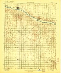
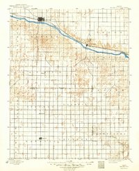
Editions of this 1896 Garden Map
4 editions found
Other maps of this area

1891 · Larned
USGS Topo · 1:125,000

1892 · Meade
USGS Topo · 1:125,000

1892 · Dodge
USGS Topo · 1:125,000

1896 · Garden
USGS Topo · 1:125,000

1900 · Lakin
USGS Topo · 1:125,000

1944 · Tennis
USGS Topo · 1:62,500

1944 · Moscow
USGS Topo · 1:62,500

1945 · Moscow
USGS Topo · 1:62,500

1955 · Dodge City
USGS Topo · 1:250,000

1955 · Scott City
USGS Topo · 1:250,000