
1896 Map of Garden
USGS Topo · Published 1896About this map
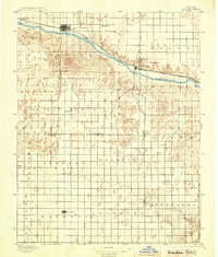
The Arkansas River serves as the primary corridor for development in the High Plains of western Kansas during the late nineteenth century. Most significant settlements, including Garden, Sherlock, and Pierceville, are concentrated along the northern bank, closely following the path of the Atchison Topeka and Santa Fe (Main Line) railroad. This alignment illustrates the critical role of the rail line in connecting this remote prairie landscape to wider markets, providing a stark contrast to the sparse, section-lined interior to the south.
Find a feature on this map
33 named features on this map. Tap any name to fly to it.
Don’t see what you’re looking for? This feature index may not catch every label — zoom into the map to look around manually.
Map Details
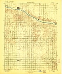
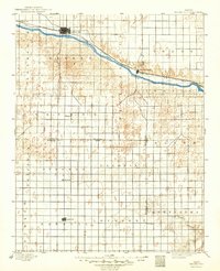
Editions of this 1896 Garden Map
4 editions found
Other maps of this area

1891 · Larned
USGS Topo · 1:125,000

1892 · Meade
USGS Topo · 1:125,000

1892 · Dodge
USGS Topo · 1:125,000

1900 · Lakin
USGS Topo · 1:125,000

1944 · Tennis
USGS Topo · 1:62,500

1944 · Moscow
USGS Topo · 1:62,500

1945 · Moscow
USGS Topo · 1:62,500

1955 · Dodge City
USGS Topo · 1:250,000

1955 · Scott City
USGS Topo · 1:250,000

1958 · Dodge City
USGS Topo · 1:250,000