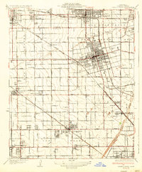
1935 Map of Garden Grove
USGS Topo · Published 1935About this map
The citrus groves and growing town centers of northern Orange County appear in high detail during the early 1930s. The landscape is defined by a dense grid of agricultural roads and several intersecting rail lines, including the Southern Pacific, Pacific Electric, and the Atchison Topeka and Santa Fe. While Anaheim and Fullerton show established street grids and community landmarks like City Park and the Anaheim Cem, much of the surrounding area remains transitional. To the south, the County Farm and Hospital sits near the banks of the Santa Ana River, a reminder of the era's social infrastructure. Local aviation is represented by the Fullerton Landing Field, while smaller settlements such as Colonia Manzanillo and Stanton provide a look at the scattered residential nodes that preceded the region's later suburbanization.
Find a feature on this map
60 named features on this map. Tap any name to fly to it.
Don’t see what you’re looking for? This feature index may not catch every label — zoom into the map to look around manually.
Map Details
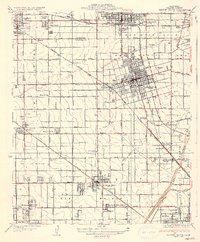
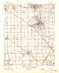
Editions of this 1935 Garden Grove Map
3 editions found
Other maps of this area

1896 · Santa Ana
USGS Topo · 1:62,500

1896 · Anaheim
USGS Topo · 1:62,500

1896 · Las Bolsas
USGS Topo · 1:62,500

1896 · Downey
USGS Topo · 1:62,500

1898 · Anaheim
USGS Topo · 1:62,500

1899 · Downey
USGS Topo · 1:62,500

1901 · Southern California Sheet No. 1
USGS Topo · 1:250,000

1901 · Santa Ana
USGS Topo · 1:62,500

1901 · Anaheim
USGS Topo · 1:62,500

1902 · Downey
USGS Topo · 1:62,500