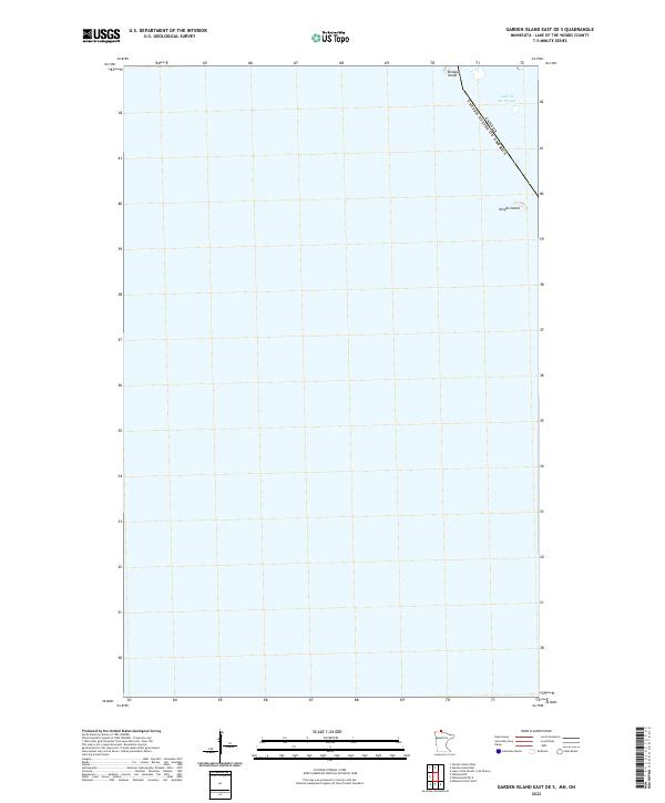
2022 Map of Garden Island East OE S
USGS Topo · Published 2022About this map
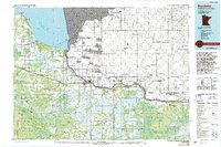
Lake of the Woods dominates this watery expanse along the international boundary between the United States and Canada. The landscape is primarily defined by open water and isolated landmasses within the lake, including Bridges Island at the northern edge and Knight Island further south. These islands serve as prominent navigational markers in a region where the border between Minnesota and Ontario is defined by the water's surface. This 2022 survey captures the contemporary shoreline and the precise maritime boundary coordinates that separate the two nations. The map provides a clear look at the t165n r32w township and range designation, illustrating the intersection of the Public Land Survey System with the international border in this aquatic setting.
Find a feature on this map
5 named features on this map. Tap any name to fly to it.
Don’t see what you’re looking for? This feature index may not catch every label — zoom into the map to look around manually.
Map Details
Editions of this 2022 Garden Island East OE S Map
This is the sole edition of this map. No revisions or reprints were ever made.
Other maps of this area

1918 · Williams
USGS Topo · 1:62,500

1919 · Canada
USGS Topo · 1:62,500

1954 · Roseau
USGS Topo · 1:250,000

1957 · Roseau
USGS Topo · 1:250,000

1958 · Roseau
USGS Topo · 1:250,000

1963 · Kenora
USGS Topo · 1:250,000
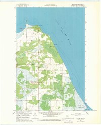
1967 · Williams NW
USGS Topo · 1:24,000
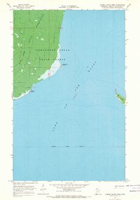
1967 · Garden Island West
USGS Topo · 1:24,000
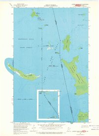
1967 · Garden Island East
USGS Topo · 1:24,000
1976 · Baudette
USGS Topo · 1:100,000