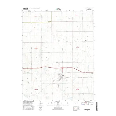
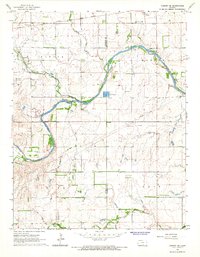
2015 Map of Garden Plain
USGS Topo · Published 2015About this map
The town of Garden Plain serves as a central hub in this western Sedgwick County landscape, situated where the Prairie Sunset Trail follows a former rail corridor across the plains. This 2015 survey reveals a community deeply connected to its local heritage, evidenced by the concentration of faith-based sites such as Saint Anthony Cem and Calvary Cem. To the northeast, the settlement of Saint Marys is marked by the Saint Marys Cem, illustrating the late-modern distribution of these small agricultural townships.
Find a feature on this map
43 named features on this map. Tap any name to fly to it.
Don’t see what you’re looking for? This feature index may not catch every label — zoom into the map to look around manually.
Map Details
Editions of this 2015 Garden Plain Map
This is the sole edition of this map. No revisions or reprints were ever made.
Other maps of this area
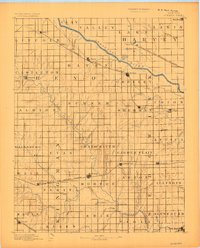
1889 · Cheney
USGS Topo · 1:125,000
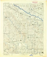
1891 · Cheney
USGS Topo · 1:125,000
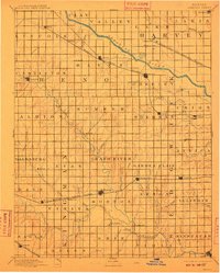
1901 · Cheney
USGS Topo · 1:125,000

1955 · Wichita
USGS Topo · 1:250,000

1958 · Wichita
USGS Topo · 1:250,000
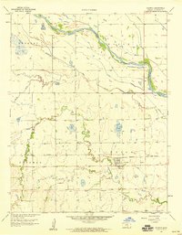
1958 · Colwich
USGS Topo · 1:24,000
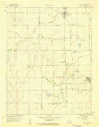
1959 · Mount Hope
USGS Topo · 1:24,000
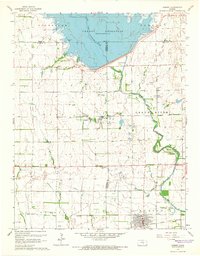
1964 · Cheney
USGS Topo · 1:24,000
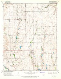
1965 · Garden Plain
USGS Topo · 1:24,000
1965 · Cheney SE
USGS Topo · 1:24,000