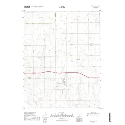
2018 Map of Garden Plain
USGS Topo · Published 2018About this map
Garden Plain serves as the primary hub in this western Sedgwick County landscape, where the agricultural grid is defined by a dense network of country roads and local drainage. The area is notable for its numerous small burial grounds that dot the countryside, including Mulkey Cem, Saint Marys Cem, and Saint Paul Lutheran Cem, which reflect the early settlement patterns of religious communities. To the east of town, Yoder Airpark and the Prairie Sunset Trail represent more contemporary uses of the land. The terrain is shaped by a complex system of waterways, from the North Fork Ninnescah River in the southwest to the winding courses of Polecat Cr and Clear Cr. These creeks, along with Middle Br Clearwater Cr, dictate the subtle elevations and land use across this Kansas prairie.
Find a feature on this map
44 named features on this map. Tap any name to fly to it.
Don’t see what you’re looking for? This feature index may not catch every label — zoom into the map to look around manually.
Map Details
Editions of this 2018 Garden Plain Map
This is the sole edition of this map. No revisions or reprints were ever made.
Other maps of this area
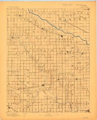
1889 · Cheney
USGS Topo · 1:125,000
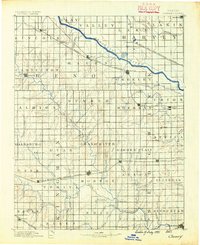
1891 · Cheney
USGS Topo · 1:125,000
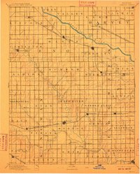
1901 · Cheney
USGS Topo · 1:125,000
1955 · Wichita
USGS Topo · 1:250,000
1958 · Wichita
USGS Topo · 1:250,000
1958 · Colwich
USGS Topo · 1:24,000
1959 · Mount Hope
USGS Topo · 1:24,000
1964 · Cheney
USGS Topo · 1:24,000
1965 · Garden Plain
USGS Topo · 1:24,000
1965 · Cheney SE
USGS Topo · 1:24,000