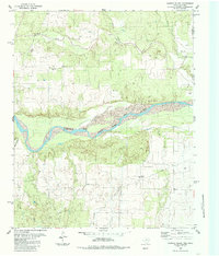
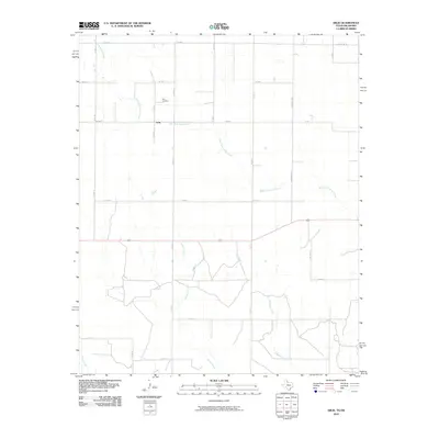
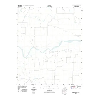
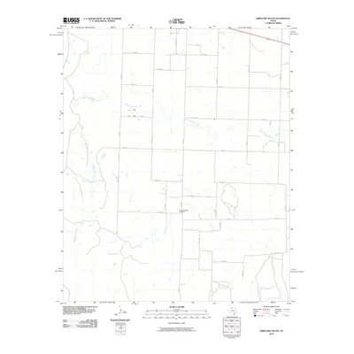
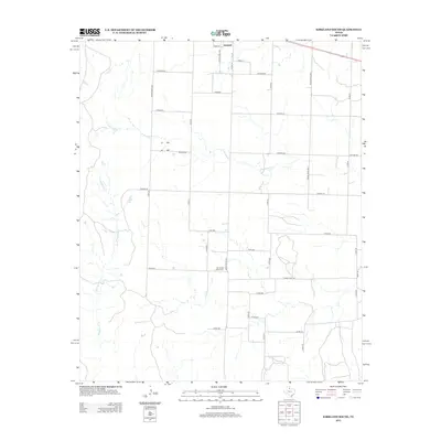
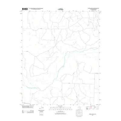
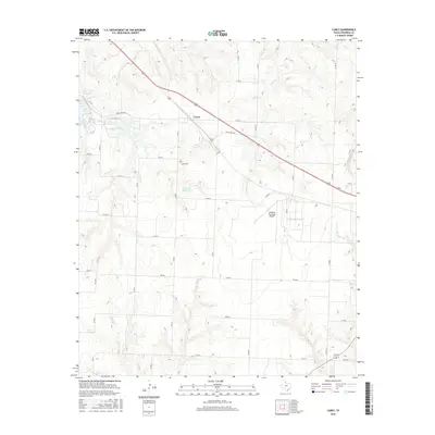
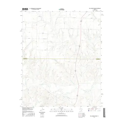
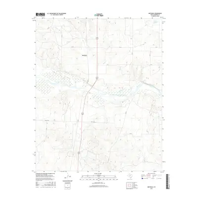
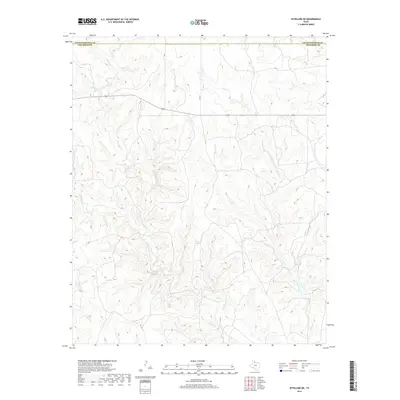
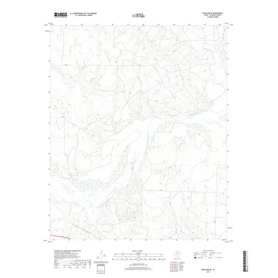
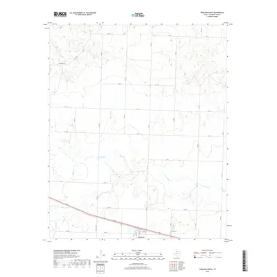
1985 Map of Garden Valley
USGS Topo · Published 1985About this map
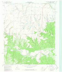
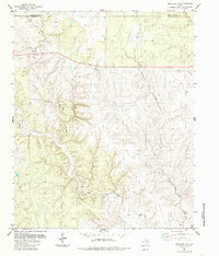
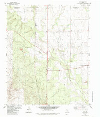
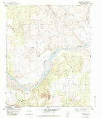
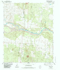
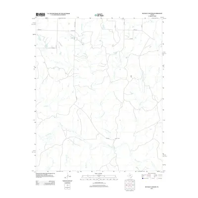
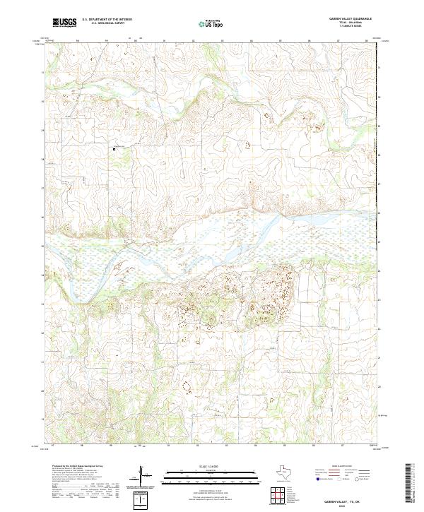
The Prairie Dog Town Fork Red River carves a wide path through this borderland, where the terrain of Childress County meets the Oklahoma state line. The landscape is defined by the erosion of significant tributaries including Buck Creek, Settlers Creek, and Soldiers Creek, which feed into the river's broad valley. Small settlements and rural landmarks provide evidence of the area's mid-century development, notably Garden Valley and the settlement of Olympus. Genealogists may find particular interest in the Olympus Cem, located on a rise above the river basin. The map also documents the practical infrastructure of the high plains ranching and resource economy, showing several Gravel Pits, a network of pipelines, and a Corral situated near the headwaters of Whites Creek.
Find a feature on this map
15 named features on this map. Tap any name to fly to it.
Don’t see what you’re looking for? This feature index may not catch every label — zoom into the map to look around manually.
Map Details
Editions of this 1985 Garden Valley Map
This is the sole edition of this map. No revisions or reprints were ever made.
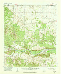
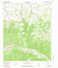
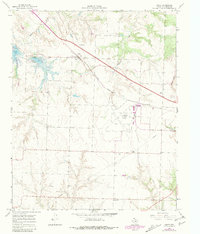
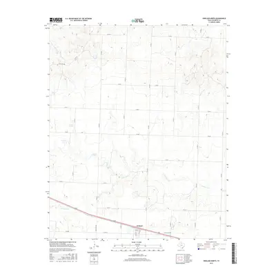
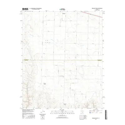
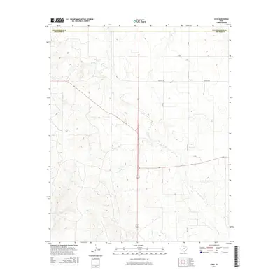
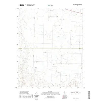
Historical Maps of Garden Valley Through Time
67 maps found
1960 Loco
Childress County, TX
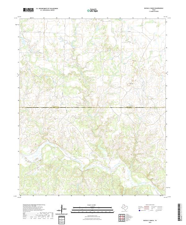
1967 Buckle L Ranch
Childress County, TX
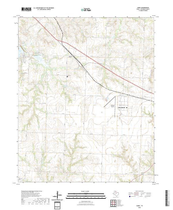
1967 Carey
Childress County, TX
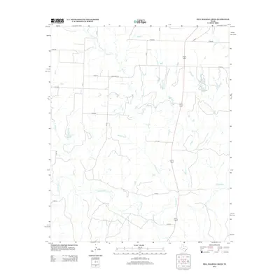
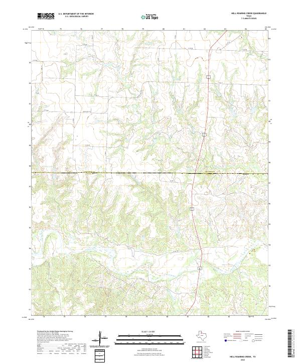
1967 Hell Roaring Creek
Childress County, TX
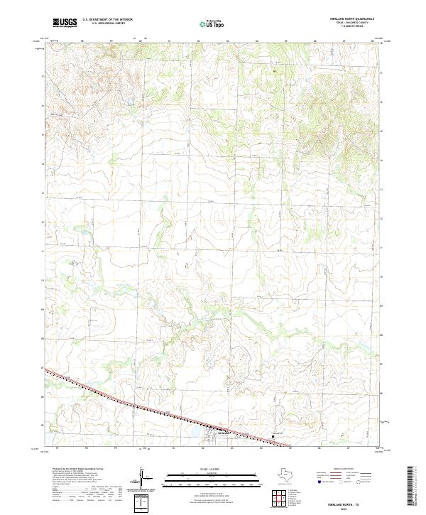
1967 Kirkland North
Childress County, TX
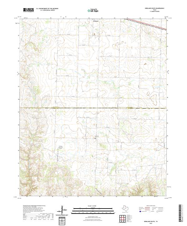
1967 Kirkland South
Childress County, TX
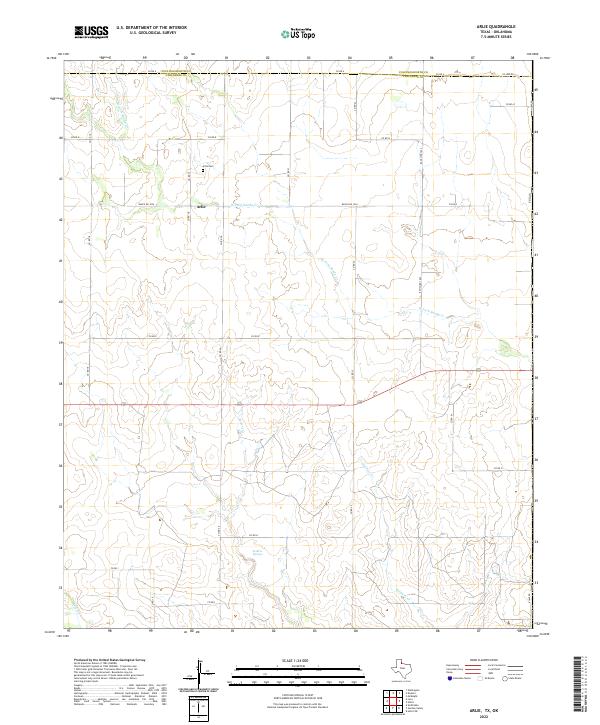
1984 Arlie
Childress County, TX
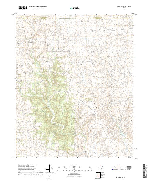
1984 Estelline NE
Childress County, TX
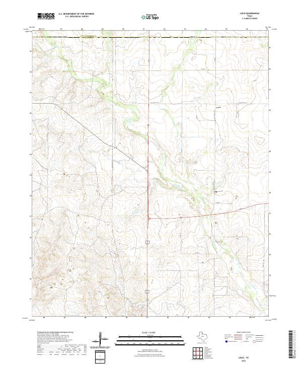
1984 Loco
Childress County, TX
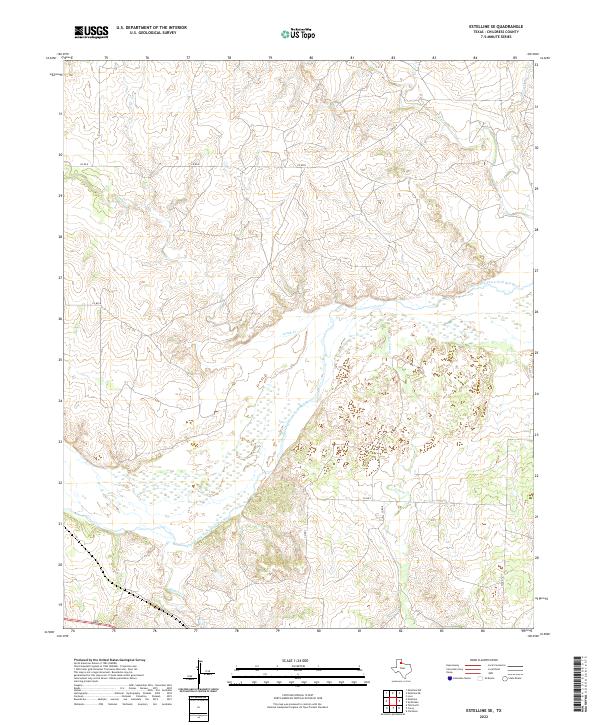
1985 Estelline SE
Childress County, TX
1985 Garden Valley
Childress County, TX
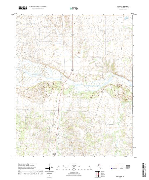
1985 Smithdale
Childress County, TX
2010 Arlie
Childress County, TX
2010 Buckle L Ranch
Childress County, TX
2010 Carey
Childress County, TX
2010 Estelline NE
Childress County, TX
2010 Estelline SE
Childress County, TX
2010 Garden Valley
Childress County, TX
2010 Hell Roaring Creek
Childress County, TX
2010 Kirkland North
Childress County, TX
2010 Kirkland South
Childress County, TX
2010 Loco
Childress County, TX
2010 Smithdale
Childress County, TX
2012 Arlie
Childress County, TX
2012 Buckle L Ranch
Childress County, TX
2012 Carey
Childress County, TX
2012 Garden Valley
Childress County, TX
2012 Kirkland North
Childress County, TX
2012 Kirkland South
Childress County, TX
2012 Loco
Childress County, TX
2012 Smithdale
Childress County, TX
2013 Estelline NE
Childress County, TX
2013 Estelline SE
Childress County, TX
2013 Hell Roaring Creek
Childress County, TX
2016 Arlie
Childress County, TX
2016 Buckle L Ranch
Childress County, TX
2016 Carey
Childress County, TX
2016 Estelline NE
Childress County, TX
2016 Estelline SE
Childress County, TX
2016 Garden Valley
Childress County, TX
2016 Hell Roaring Creek
Childress County, TX
2016 Kirkland North
Childress County, TX
2016 Kirkland South
Childress County, TX
2016 Loco
Childress County, TX
2016 Smithdale
Childress County, TX
2019 Arlie
Childress County, TX
2019 Buckle L Ranch
Childress County, TX
2019 Carey
Childress County, TX
2019 Estelline NE
Childress County, TX
2019 Estelline SE
Childress County, TX
2019 Garden Valley
Childress County, TX
2019 Hell Roaring Creek
Childress County, TX
2019 Kirkland North
Childress County, TX
2019 Kirkland South
Childress County, TX
2019 Loco
Childress County, TX
2019 Smithdale
Childress County, TX
2022 Arlie
Childress County, TX
2022 Buckle L Ranch
Childress County, TX
2022 Carey
Childress County, TX
2022 Estelline NE
Childress County, TX
2022 Estelline SE
Childress County, TX
2022 Garden Valley
Childress County, TX
2022 Hell Roaring Creek
Childress County, TX
2022 Kirkland North
Childress County, TX
2022 Kirkland South
Childress County, TX
2022 Loco
Childress County, TX
2022 Smithdale
Childress County, TX