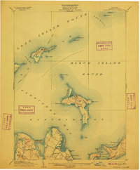
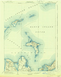
1904 Map of Gardiners Island
USGS Topo · Published 1909About this map
Gardiners Island stands prominently between Gardiners Bay and Block Island Sound, showcasing a landscape of isolated ponds and coastal features at the start of the twentieth century. To the north, Plum Island is dominated by the military presence of Fort Terry, while the waters of The Race are marked by the Race Rock L.H. and the rugged Little Gull I. shoreline. The map captures the maritime orientation of eastern Long Island, where landings such as Alberts Landing and Quincetree Landing served local commerce and travel. On the mainland, small settlements like Springs and Kingstown are nestled near Acabonack Harbor, providing a detailed look at the rural roads and early development patterns within Easthampton before modern coastal expansion altered these traditional harbor communities.
Find a feature on this map
57 named features on this map. Tap any name to fly to it.
Don’t see what you’re looking for? This feature index may not catch every label — zoom into the map to look around manually.
Map Details
Editions of this 1904 Gardiners Island Map
6 editions found

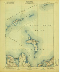
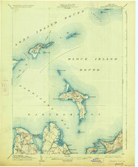
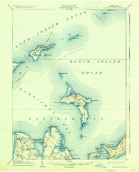
Other maps of this area

1889 · Stonington
USGS Topo · 1:62,500

1892 · New London
USGS Topo · 1:62,500

1893 · Stonington
USGS Topo · 1:62,500

1893 · New London
USGS Topo · 1:62,500

1893 · Saybrook
USGS Topo · 1:62,500

1903 · Sag Harbor
USGS Topo · 1:62,500

1903 · Gardiners Island
USGS Topo · 1:62,500

1904 · Sag Harbor
USGS Topo · 1:62,500

1904 · Shelter Island
USGS Topo · 1:62,500

1904 · Easthampton
USGS Topo · 1:62,500
Featured Places
- East Hampton, NY
- Southold, NY
- Springs, East Hampton
- Northwest Harbor, East Hampton
- Montauk, East Hampton