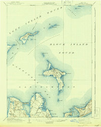
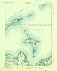
1904 Map of Gardiners Island
USGS Topo · Published 1944About this map
Gardiners Island dominates this early twentieth-century survey of the waters between Long Island and the Connecticut coast. The map illustrates a maritime landscape defined by isolated landmasses and critical navigational passages like The Race and Plum Gut, where the Race Rock L.H. guided vessels through turbulent waters. On Plum Island, the military presence at Fort Terry is clearly marked, situated strategically along the steamboat route.
Find a feature on this map
57 named features on this map. Tap any name to fly to it.
Don’t see what you’re looking for? This feature index may not catch every label — zoom into the map to look around manually.
Map Details
Editions of this 1904 Gardiners Island Map
6 editions found

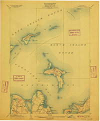
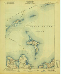
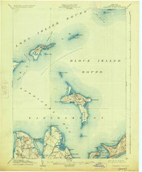
Other maps of this area

1889 · Stonington
USGS Topo · 1:62,500

1892 · New London
USGS Topo · 1:62,500

1893 · Stonington
USGS Topo · 1:62,500

1893 · New London
USGS Topo · 1:62,500

1893 · Saybrook
USGS Topo · 1:62,500

1903 · Sag Harbor
USGS Topo · 1:62,500

1903 · Gardiners Island
USGS Topo · 1:62,500

1904 · Sag Harbor
USGS Topo · 1:62,500

1904 · Shelter Island
USGS Topo · 1:62,500

1904 · Easthampton
USGS Topo · 1:62,500
Featured Places
- East Hampton, NY
- Southold, NY
- Springs, East Hampton
- Northwest Harbor, East Hampton
- Montauk, East Hampton