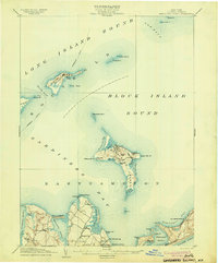
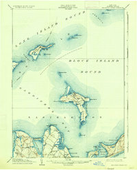
1904 Map of Gardiners Island
USGS Topo · Published 1904About this map
Gardiners Island and the surrounding coastal waters of Suffolk County appear here just after the turn of the century. The interior of the island is mapped with precision, showing numerous water bodies like Home Pond and Tobaccolot Pond alongside high points such as Whale Hill. To the north, the strategic military importance of the era is evident at Fort Terry on Plum Island, while Race Rock L.H. stands watch over the turbulent waters of The Race.
Find a feature on this map
59 named features on this map. Tap any name to fly to it.
Don’t see what you’re looking for? This feature index may not catch every label — zoom into the map to look around manually.
Map Details
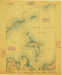
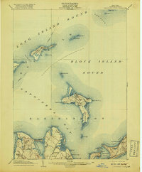
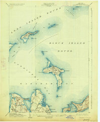
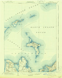
Editions of this 1904 Gardiners Island Map
6 editions found
Other maps of this area
1889 · Stonington
USGS Topo · 1:62,500
1892 · New London
USGS Topo · 1:62,500
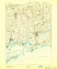
1893 · Stonington
USGS Topo · 1:62,500
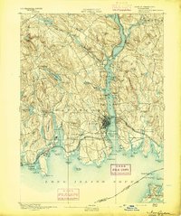
1893 · New London
USGS Topo · 1:62,500
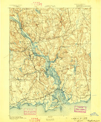
1893 · Saybrook
USGS Topo · 1:62,500
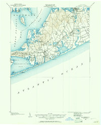
1903 · Sag Harbor
USGS Topo · 1:62,500
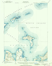
1903 · Gardiners Island
USGS Topo · 1:62,500
1904 · Sag Harbor
USGS Topo · 1:62,500
1904 · Shelter Island
USGS Topo · 1:62,500
1904 · Easthampton
USGS Topo · 1:62,500
Featured Places
- East Hampton, NY
- Southold, NY
- Springs, East Hampton
- Northwest Harbor, East Hampton
- Montauk, East Hampton