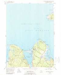
1956 Map of Gardiners Island West
USGS Topo · Published 1989About this map
Gardiners Island and the coastal reaches of East Hampton define this mid-century maritime landscape, caught in 1956 during a period of established summer recreation and quiet coastal settlement. The map highlights the legendary Captain Kidd Monument and nearby Captain Kidd Hollow, linking the terrain to its colonial pirate lore. Along the shores of Threemile Harbor and Acabonack Harbor, the era's youth culture is visible through several active retreats, including Camp St Regis, Fireplace Lodge Girls Camp, and the Blue Bay Girl Scout Camp.
Find a feature on this map
68 named features on this map. Tap any name to fly to it.
Don’t see what you’re looking for? This feature index may not catch every label — zoom into the map to look around manually.
Map Details
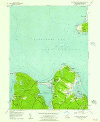
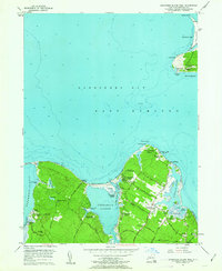
Editions of this 1956 Gardiners Island West Map
3 editions found
Other maps of this area

1903 · Sag Harbor
USGS Topo · 1:62,500

1903 · Gardiners Island
USGS Topo · 1:62,500

1904 · Sag Harbor
USGS Topo · 1:62,500

1904 · Shelter Island
USGS Topo · 1:62,500

1904 · Easthampton
USGS Topo · 1:62,500

1904 · Gardiners Island
USGS Topo · 1:62,500

1921 · Gardiners Island
USGS Topo · 1:62,500

1921 · Easthampton
USGS Topo · 1:62,500

1943 · Gardiners Island East
USGS Topo · 1:24,000

1944 · Gardiners Island West
USGS Topo · 1:24,000
Featured Places
- East Hampton, NY
- Southold, NY
- Springs, East Hampton
- Northwest Harbor, East Hampton
- Amagansett, East Hampton