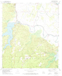
1971 Map of Gardner
USGS Topo · Published 1974About this map
Cotile Lake and the developing Kincaid Reservoir anchor this 1970s landscape in western Rapides Parish. The map captures a moment of transition as blue hatching indicates areas slated for submergence by the new reservoir and Lake Rodemacher. Within the Kisatchie National Forest, the terrain is defined by a dense network of watercourses including Bayou Rapides and Bayou Cocodrie. The settlement of Hotwells is notable for its Flowing Well, while the surrounding timberland is dotted with historic community markers like Lehy Chapel, Hemphill Star Ch, and the Texada Cem. An Old Railroad Grade and the Texas and Pacific line near the Red River reflect the region's transport and logging history.
Find a feature on this map
54 named features on this map. Tap any name to fly to it.
Don’t see what you’re looking for? This feature index may not catch every label — zoom into the map to look around manually.
Map Details
Editions of this 1971 Gardner Map
3 editions found
Other maps of this area

1932 · Boyce NE
USGS Topo · 1:31,680

1932 · Boyce SW
USGS Topo · 1:31,680

1937 · Chopin NE
USGS Topo · 1:31,680

1937 · Chopin SE
USGS Topo · 1:31,680

1941 · Boyce
USGS Topo · 1:62,500

1943 · Leander
USGS Topo · 1:62,500

1944 · Chopin
USGS Topo · 1:62,500

1945 · Boyce SE
USGS Topo · 1:31,680

1948 · Chopin
USGS Topo · 1:62,500

1949 · Boyce NW
USGS Topo · 1:31,680