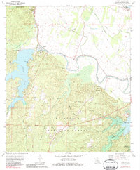
1971 Map of Gardner
USGS Topo · Published 1984About this map
Hot Wells and the surrounding piney woods of the Kisatchie National Forest define this central Louisiana landscape during the early 1970s. The map illustrates a region transitioning between the managed timberlands of the national forest and the fertile bottomlands of the Red River valley to the northeast. Settlement patterns are concentrated along the winding course of Bayou Rapides and Bayou Jean de Jean, where small communities like McNutt and Wilda are situated. Large water bodies, including Cotile Lake and the Kincaid Reservoir, reflect mid-century infrastructure developments for recreation and water management. Local heritage is deeply rooted here, evidenced by numerous rural houses of worship such as Red Store Ch and Second Evening Star Ch, alongside family burial grounds like the Dark Neal Cem and James Cem. An Old Railroad Grade cutting through the forest provides a tangible link to the era of intensive southern yellow pine logging.
Find a feature on this map
56 named features on this map. Tap any name to fly to it.
Don’t see what you’re looking for? This feature index may not catch every label — zoom into the map to look around manually.
Map Details
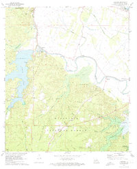
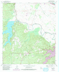
Editions of this 1971 Gardner Map
3 editions found
Other maps of this area

1932 · Boyce NE
USGS Topo · 1:31,680

1932 · Boyce SW
USGS Topo · 1:31,680

1937 · Chopin NE
USGS Topo · 1:31,680

1937 · Chopin SE
USGS Topo · 1:31,680

1941 · Boyce
USGS Topo · 1:62,500

1943 · Leander
USGS Topo · 1:62,500

1944 · Chopin
USGS Topo · 1:62,500

1945 · Boyce SE
USGS Topo · 1:31,680

1948 · Chopin
USGS Topo · 1:62,500

1949 · Boyce NW
USGS Topo · 1:31,680