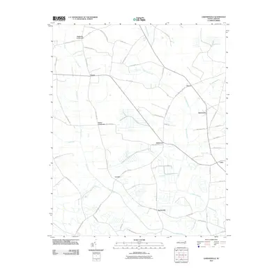
2010 Map of Gardnerville
USGS Topo · Published 2010About this map
Swift Creek and its many meandering tributaries define the low-lying landscape of Pitt County in the early 21st century. This USGS study shows a region characterized by small, distinct settlements often established at key road junctions, such as Gardnerville, Stokestown, and Coxville. The presence of multiple swamp systems, including Clayroot Swamp, Fork Swamp, and Indian Well Swamp, reveals the persistent hydrological challenges and natural boundaries that shaped the local road network and settlement patterns.
Find a feature on this map
48 named features on this map. Tap any name to fly to it.
Don’t see what you’re looking for? This feature index may not catch every label — zoom into the map to look around manually.
Map Details
Editions of this 2010 Gardnerville Map
This is the sole edition of this map. No revisions or reprints were ever made.
Other maps of this area

1902 · Ayden
USGS Topo · 1:62,500

1902 · Vanceboro
USGS Topo · 1:62,500

1903 · Winterville
USGS Topo · 1:62,500

1903 · Chocowinity
USGS Topo · 1:62,500

1904 · Ayden
USGS Topo · 1:62,500

1904 · Vanceboro
USGS Topo · 1:62,500

1905 · Chocowinity
USGS Topo · 1:62,500

1905 · Winterville
USGS Topo · 1:62,500

1905 · Vanceboro
USGS Topo · 1:62,500

1953 · Rocky Mount
USGS Topo · 1:250,000