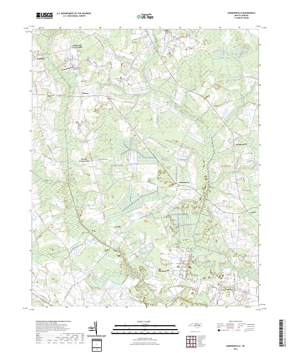
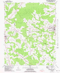
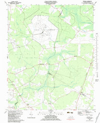
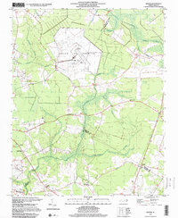
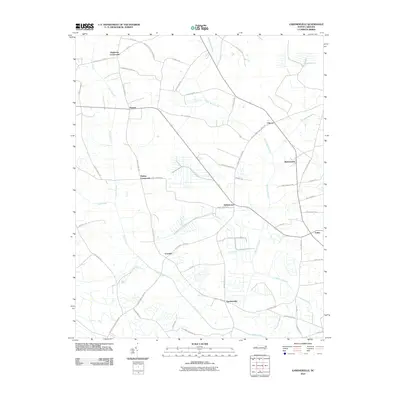
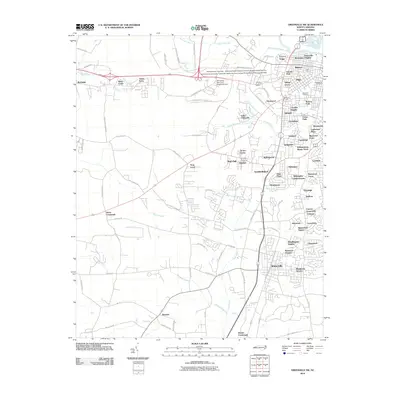
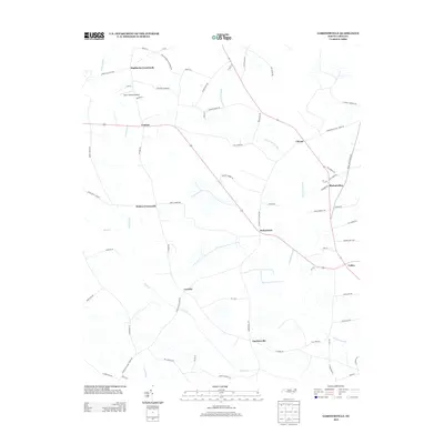
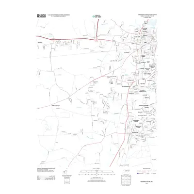
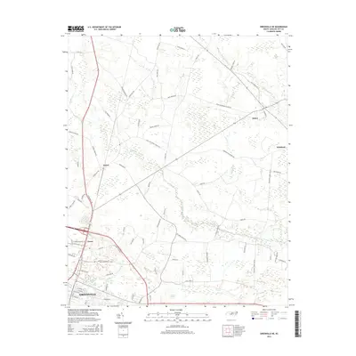
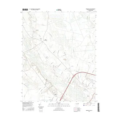
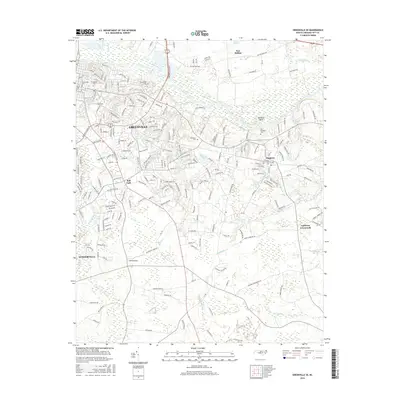
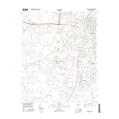
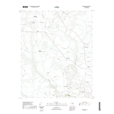
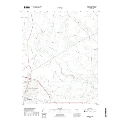
2022 Map of Gardnerville
USGS Topo · Published 2022About this map
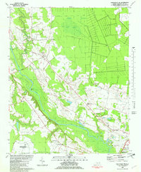
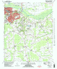
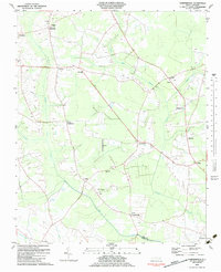
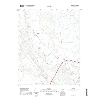
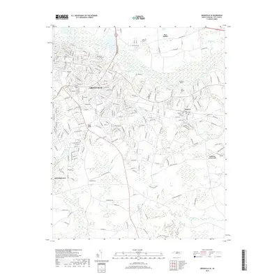
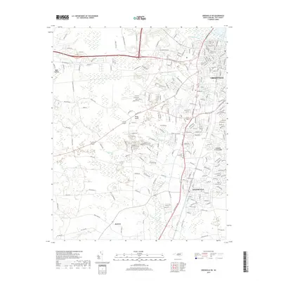
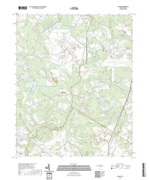
Gardnerville serves as a central hub in this corner of Pitt County, where a dense network of local roads connects several small agricultural settlements and crossroads. The landscape is defined by the winding course of Swift Creek and the drainage systems of Clayroot Swamp, Indian Well Swamp, and Fork Swamp. These low-lying areas are managed by features like the Shiloh Canal, illustrating the long-term relationship between local farming and the wet terrain of the coastal plain.
Find a feature on this map
65 named features on this map. Tap any name to fly to it.
Don’t see what you’re looking for? This feature index may not catch every label — zoom into the map to look around manually.
Map Details
Editions of this 2022 Gardnerville Map
This is the sole edition of this map. No revisions or reprints were ever made.
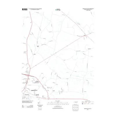
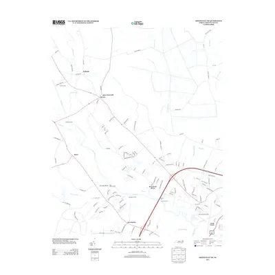
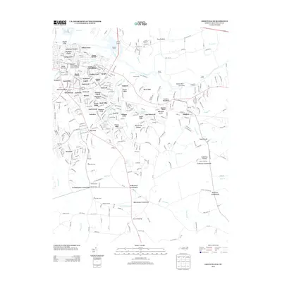
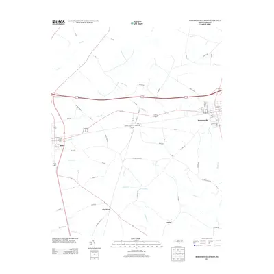
Historical Maps of Chicod Through Time
53 maps found
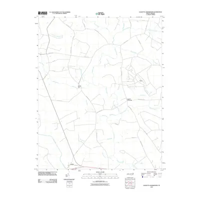
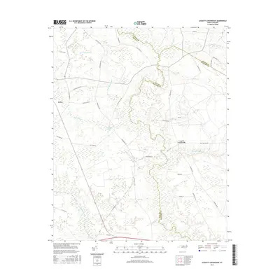
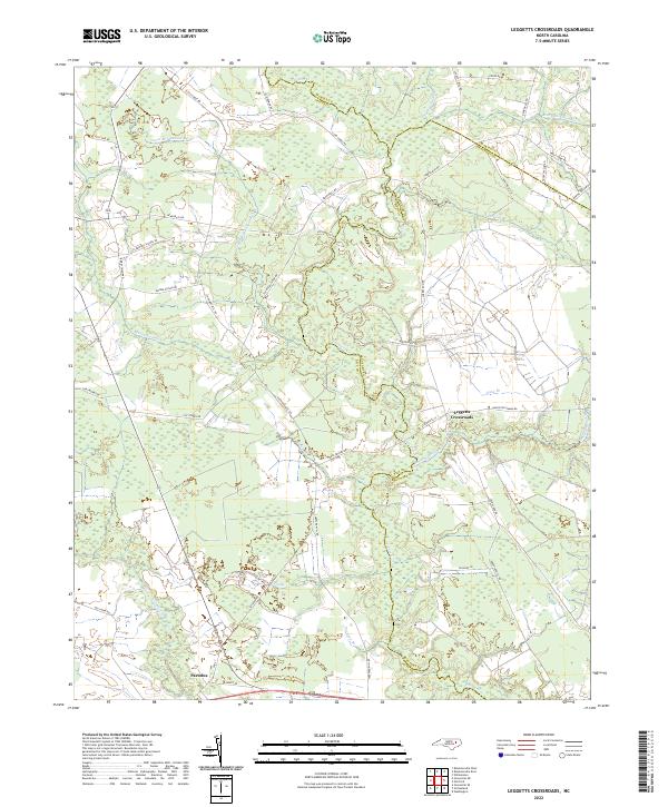
1979 Leggetts Crossroads
Pitt County, NC
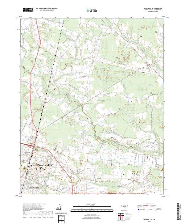
1981 Greenville NE
Pitt County, NC
1981 Greenville SW
Pitt County, NC
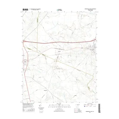
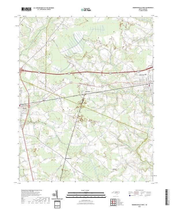
1981 Robersonsville West
Pitt County, NC
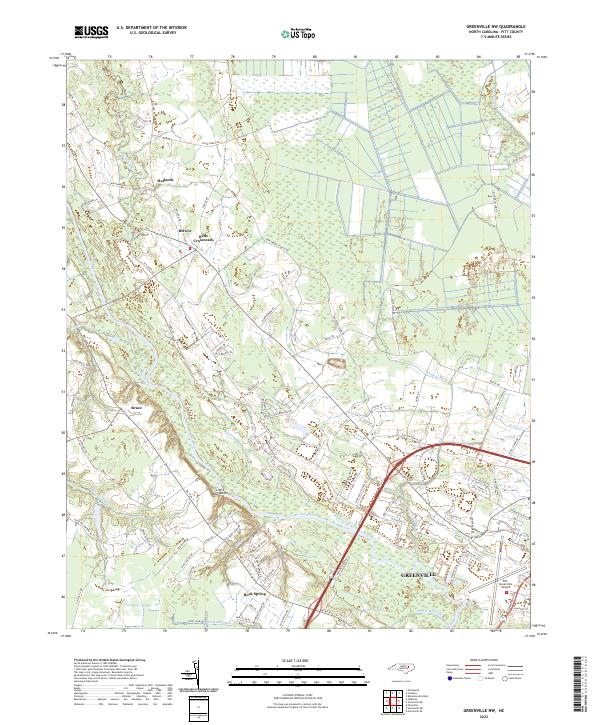
1982 Greenville NW
Pitt County, NC
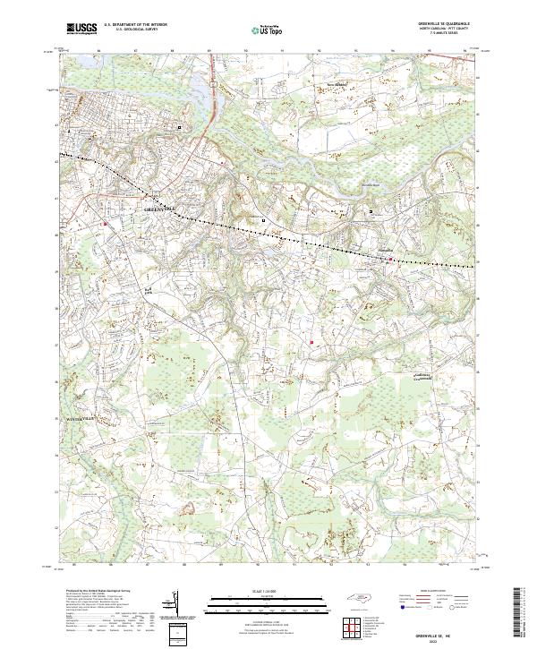
1982 Greenville SE
Pitt County, NC
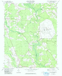
1983 Gardnerville
Pitt County, NC
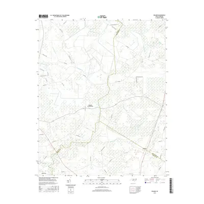
1983 Wilmar
Pitt County, NC
1997 Wilmar
Pitt County, NC
1998 Greenville NE
Pitt County, NC

1998 Greenville NW
Pitt County, NC

1998 Greenville SE
Pitt County, NC
1998 Greenville SW
Pitt County, NC
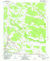
2010 Gardnerville
Pitt County, NC
2010 Greenville NE
Pitt County, NC
2010 Greenville NW
Pitt County, NC
2010 Greenville SE
Pitt County, NC
2010 Greenville SW
Pitt County, NC
2010 Leggetts Crossroads
Pitt County, NC
2010 Robersonville West
Pitt County, NC
2010 Wilmar
Pitt County, NC
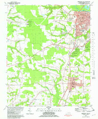
2013 Gardnerville
Pitt County, NC
2013 Greenville NE
Pitt County, NC
2013 Greenville NW
Pitt County, NC
2013 Greenville SE
Pitt County, NC
2013 Greenville SW
Pitt County, NC

2013 Leggetts Crossroads
Pitt County, NC
2013 Robersonville West
Pitt County, NC
2013 Wilmar
Pitt County, NC
2016 Gardnerville
Pitt County, NC
2016 Greenville NE
Pitt County, NC
2016 Greenville NW
Pitt County, NC
2016 Greenville SE
Pitt County, NC
2016 Greenville SW
Pitt County, NC
2016 Leggetts Crossroads
Pitt County, NC
2016 Robersonville West
Pitt County, NC
2016 Wilmar
Pitt County, NC
2019 Gardnerville
Pitt County, NC
2019 Greenville NE
Pitt County, NC
2019 Greenville NW
Pitt County, NC
2019 Greenville SE
Pitt County, NC
2019 Greenville SW
Pitt County, NC
2019 Leggetts Crossroads
Pitt County, NC
2019 Robersonville West
Pitt County, NC
2019 Wilmar
Pitt County, NC
2022 Gardnerville
Pitt County, NC
2022 Greenville NE
Pitt County, NC
2022 Greenville NW
Pitt County, NC
2022 Greenville SE
Pitt County, NC

2022 Greenville SW
Pitt County, NC
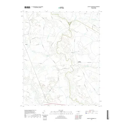
2022 Leggetts Crossroads
Pitt County, NC
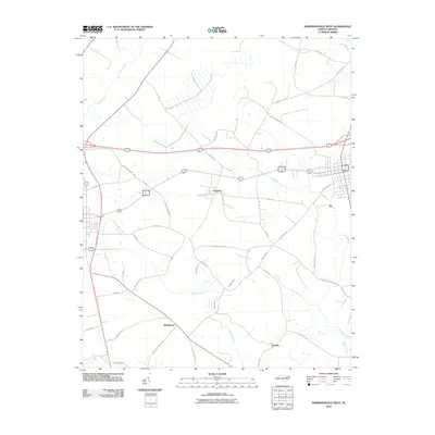
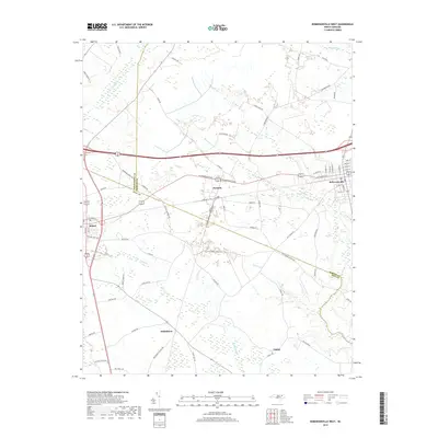
2022 Robersonville West
Pitt County, NC
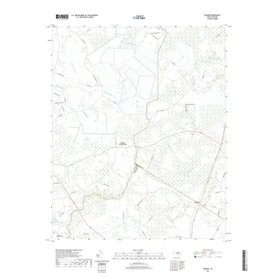
2022 Wilmar
Pitt County, NC