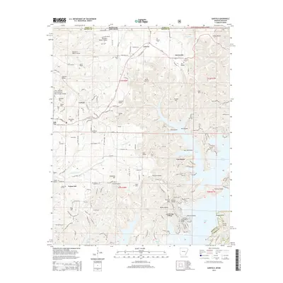
2014 Map of Garfield
USGS Topo · Published 2014About this map
Garfield and the neighboring community of Gateway serve as the primary hubs for this region of the Ozarks where the Missouri and Arkansas border meets. The landscape is defined by the convoluted shoreline of Beaver Lake, which creates numerous peninsulas and sheltered coves like Fishtrap Hollow and Hoot Owl Hollow. Along the western edge of the lake, newer developments such as Lost Bridge Village and Vista Shores sit perched above the water, while the interior is marked by many family-named peaks including Williams Mtn, Henry Mtn, and Glasscock Mtn.
Find a feature on this map
134 named features on this map. Tap any name to fly to it.
Don’t see what you’re looking for? This feature index may not catch every label — zoom into the map to look around manually.
Map Details
Editions of this 2014 Garfield Map
This is the sole edition of this map. No revisions or reprints were ever made.
Other maps of this area

1899 · Fayetteville
USGS Topo · 1:125,000

1900 · Eureka Springs
USGS Topo · 1:125,000

1901 · Eureka Springs
USGS Topo · 1:125,000

1901 · Fayetteville
USGS Topo · 1:125,000

1904 · Fayetteville
USGS Topo · 1:125,000

1937 · Cassville
USGS Topo · 1:48,000

1941 · Rocky Comfort
USGS Topo · 1:62,500

1943 · Rocky Comfort
USGS Topo · 1:62,500

1944 · Cassville
USGS Topo · 1:62,500

1945 · Harrison
USGS Topo · 1:250,000