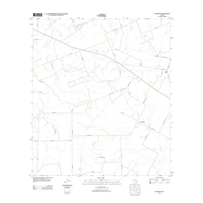
2013 Map of Garfield
USGS Topo · Published 2013About this map
Old Davy and the community of Garfield anchor this South Texas landscape in DeWitt County, where seasonal watercourses like Dry Ecleto Cr and Salt Cr shape the terrain. The map reveals a deeply rooted rural infrastructure of family-named roads and agrarian land divisions, including Elias Rd, Chris House Rd, and Shows Bros Rd. These labels reflect the generations of ranching and farming families that have managed this territory. Historical continuity is marked by the Salt Creek Cem, located near the intersection of several county roads in the northeastern corner of the quadrangle. The drainage patterns of Jack Pump Cr and Mound Cr illustrate the subtle elevation changes of the Texas coastal plain, providing a clear record of the local topography and property boundaries established by the early 21st century.
Find a feature on this map
53 named features on this map. Tap any name to fly to it.
Don’t see what you’re looking for? This feature index may not catch every label — zoom into the map to look around manually.
Map Details
Editions of this 2013 Garfield Map
This is the sole edition of this map. No revisions or reprints were ever made.
Other maps of this area
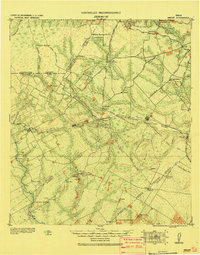
1920 · Smiley
USGS Topo · 1:125,000

1953 · Beeville
USGS Topo · 1:250,000

1953 · Seguin
USGS Topo · 1:250,000

1956 · Beeville
USGS Topo · 1:250,000
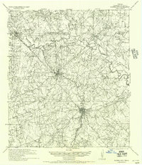
1956 · Karnes City
USGS Topo · 1:62,500

1958 · Seguin
USGS Topo · 1:250,000

1960 · Beeville
USGS Topo · 1:250,000
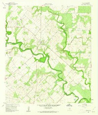
1960 · Helena
USGS Topo · 1:24,000
1961 · Sample
USGS Topo · 1:24,000
1961 · New Davy
USGS Topo · 1:24,000