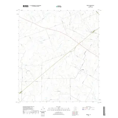
2019 Map of Garfield
USGS Topo · Published 2019About this map
The settlement of Garfield and the surrounding rural landscapes of DeWitt and Karnes Counties are defined by a network of drainage creeks and ranching roads. The terrain is marked by numerous watercourses including Jack Pump Cr, Mound Cr, and Brushy Cr, which cut through the undulating ranch lands. Local heritage is centered around long-standing landmarks like Salt Creek Cem and Davy Cemetery Rd, which serve as vital touchstones for family historians and genealogists tracing roots in this corner of South Texas. The road network, featuring names such as Lackey Ranch Rd, Dworaczyk Rd, and Chris House Rd, reflects the local family histories and ranching legacies that have shaped the county boundaries between Karnes and DeWitt for generations.
Find a feature on this map
50 named features on this map. Tap any name to fly to it.
Don’t see what you’re looking for? This feature index may not catch every label — zoom into the map to look around manually.
Map Details
Editions of this 2019 Garfield Map
This is the sole edition of this map. No revisions or reprints were ever made.
Other maps of this area
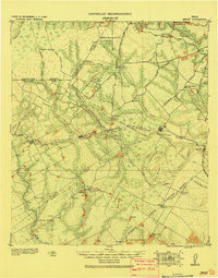
1920 · Smiley
USGS Topo · 1:125,000

1953 · Beeville
USGS Topo · 1:250,000

1953 · Seguin
USGS Topo · 1:250,000

1956 · Beeville
USGS Topo · 1:250,000
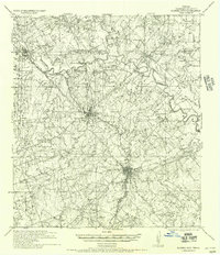
1956 · Karnes City
USGS Topo · 1:62,500

1958 · Seguin
USGS Topo · 1:250,000

1960 · Beeville
USGS Topo · 1:250,000
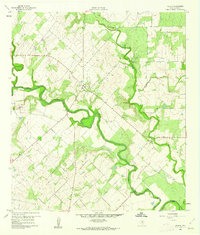
1960 · Helena
USGS Topo · 1:24,000
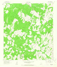
1961 · Sample
USGS Topo · 1:24,000
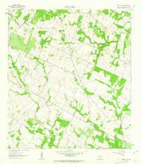
1961 · New Davy
USGS Topo · 1:24,000